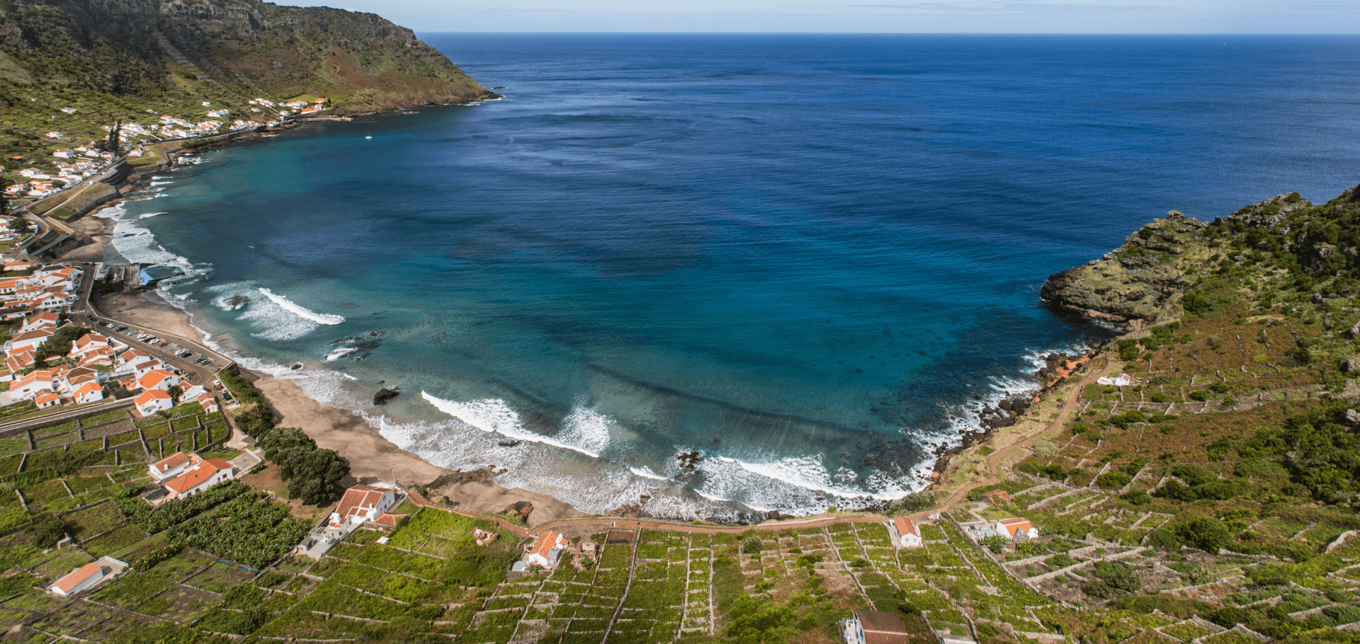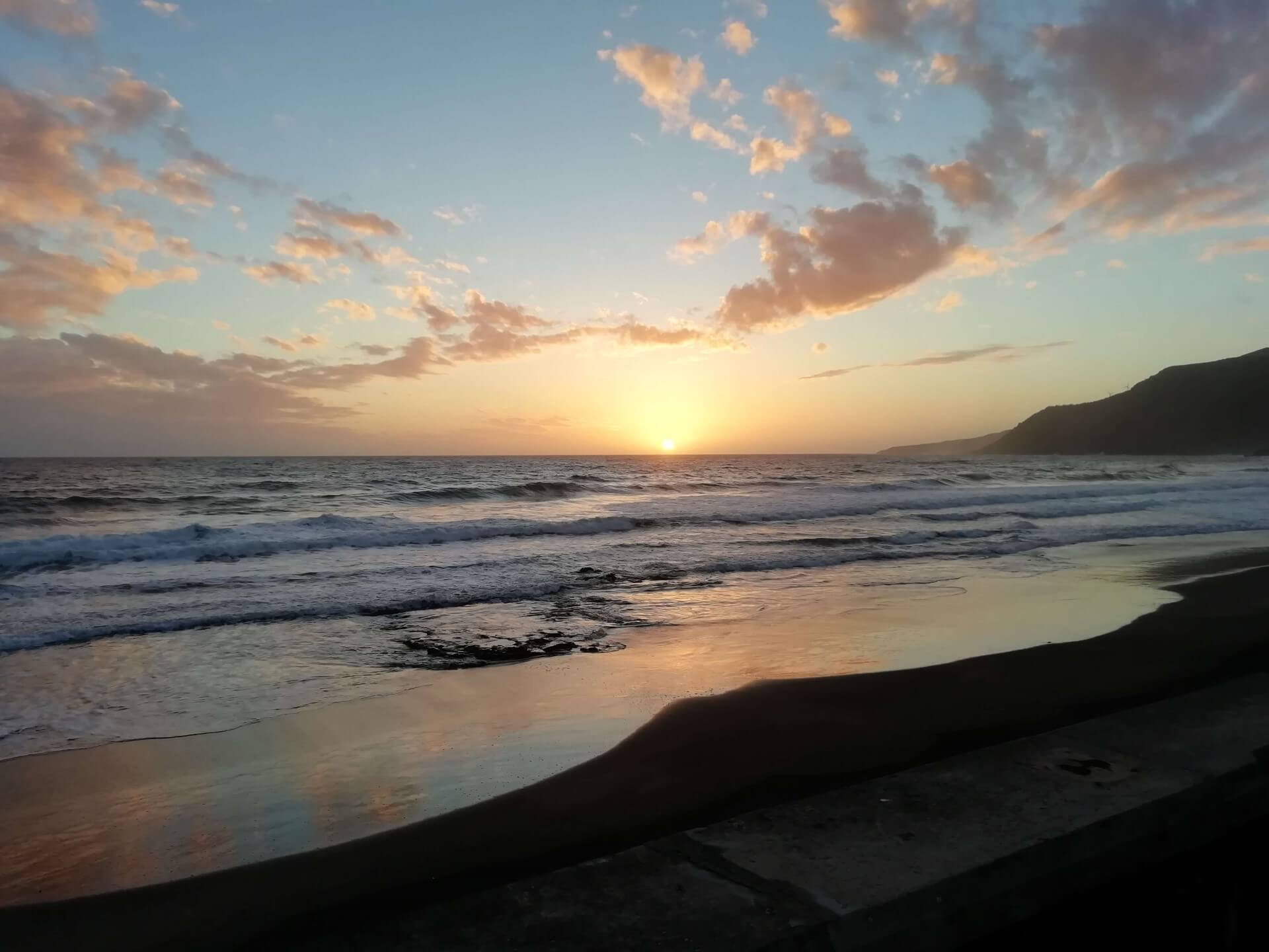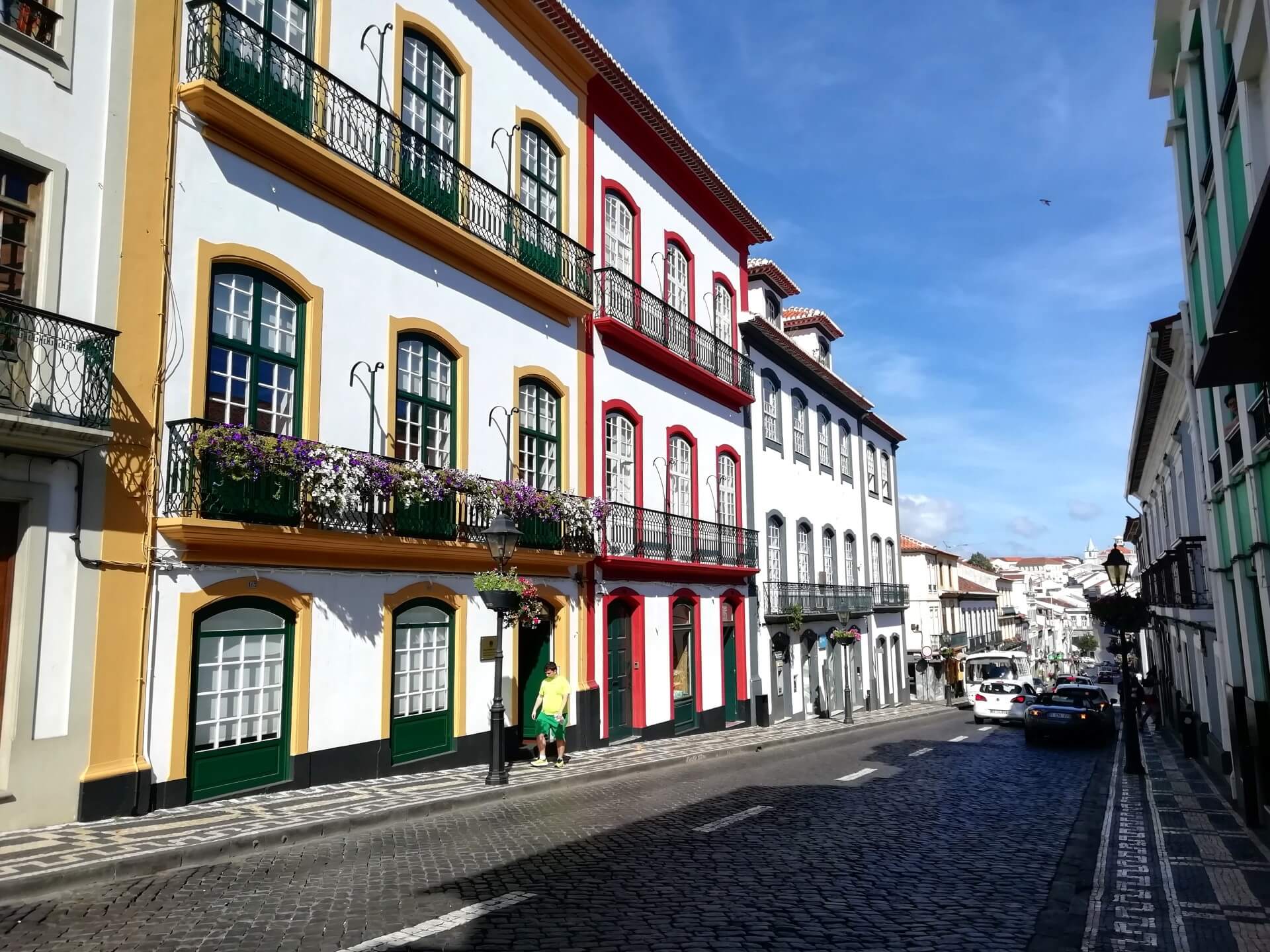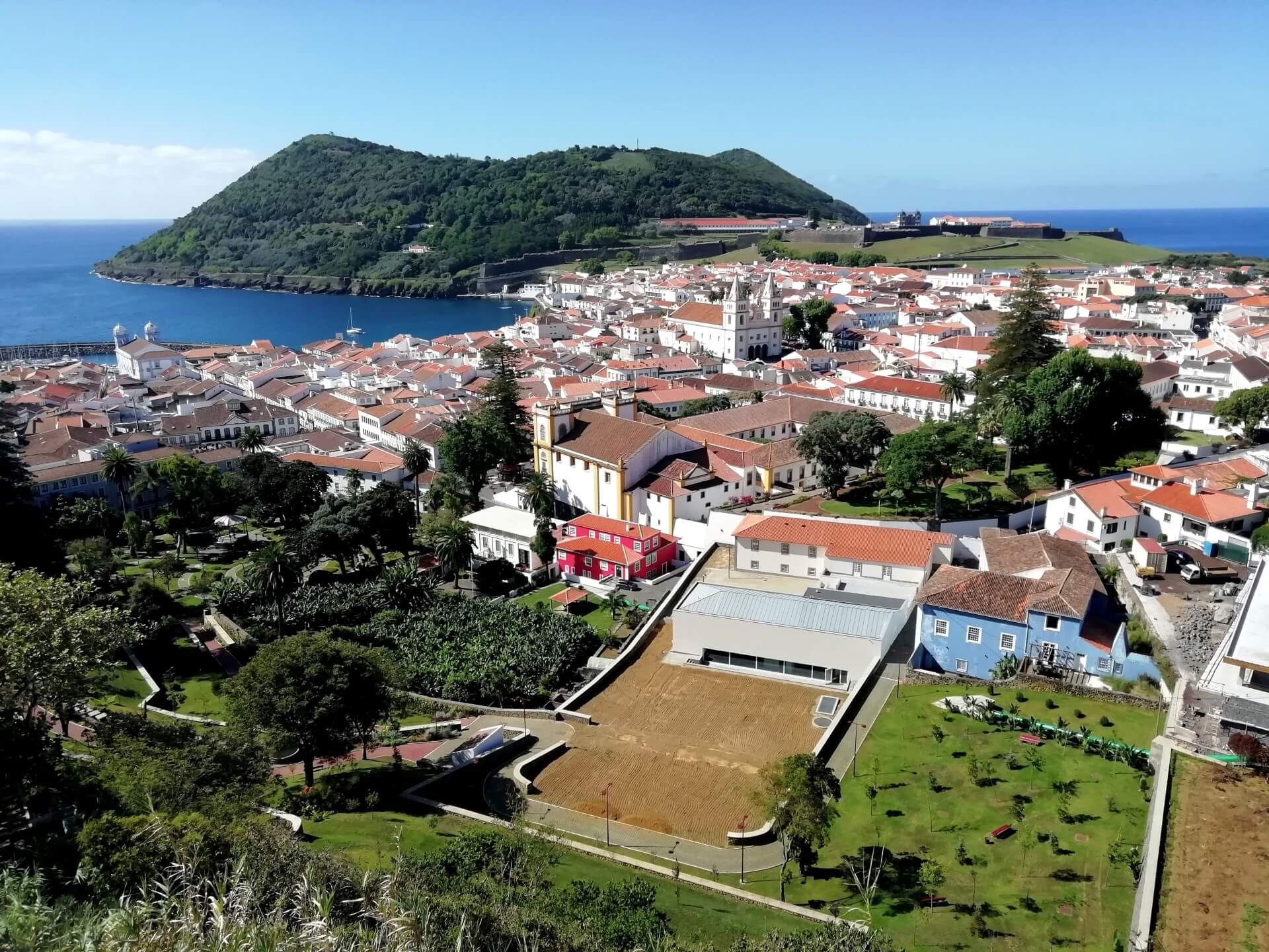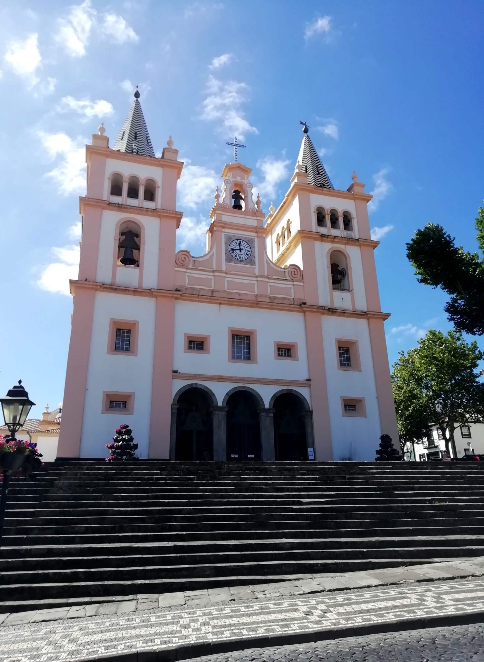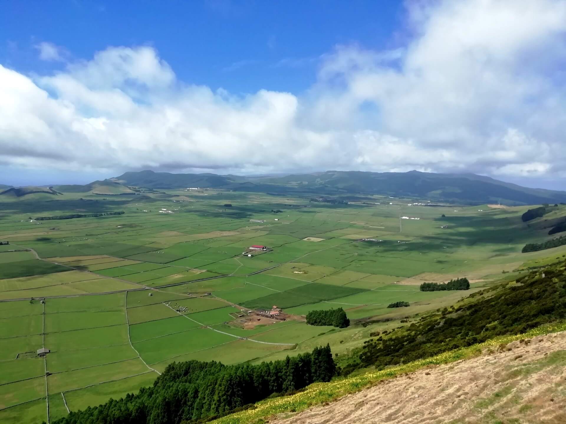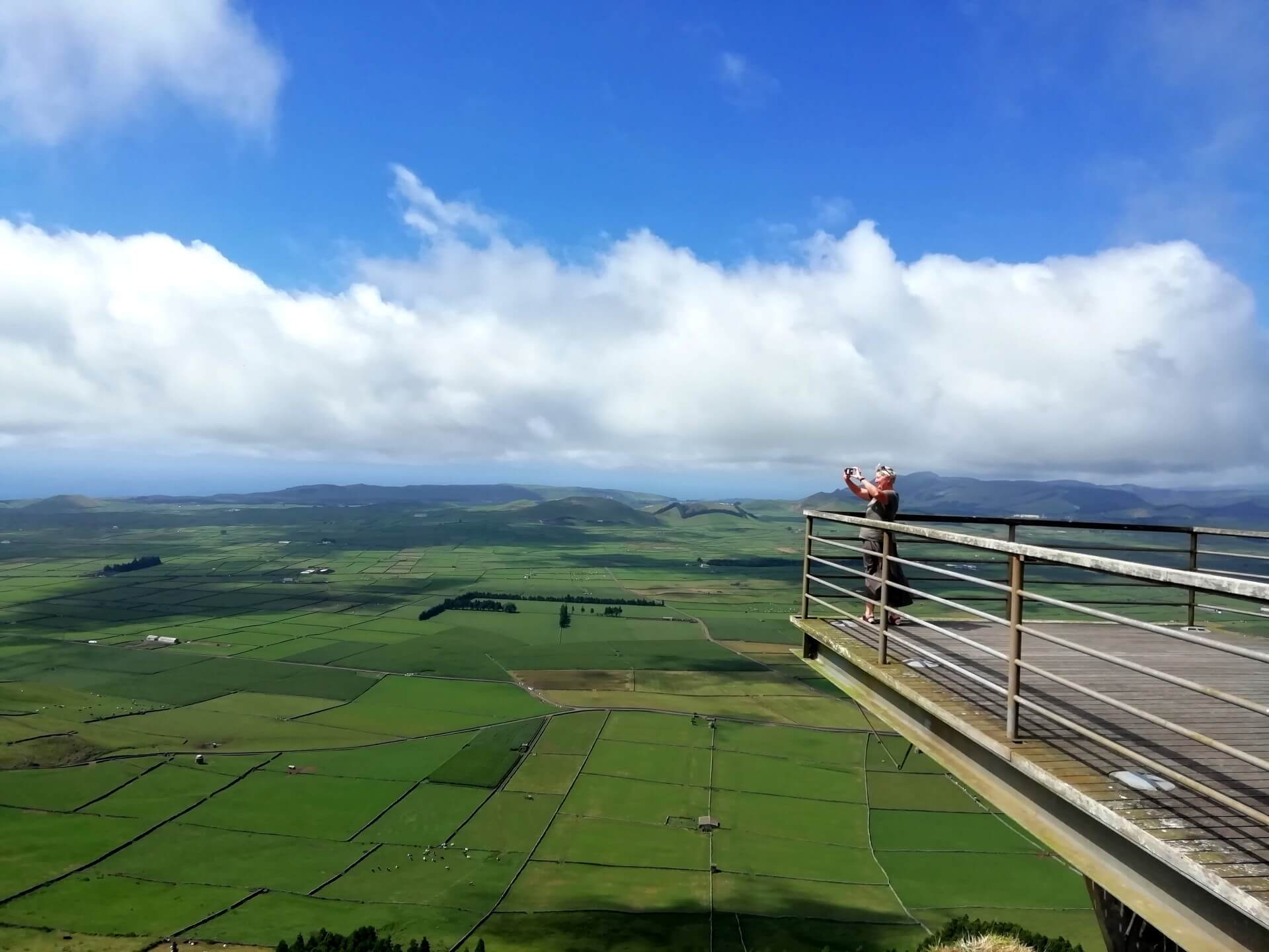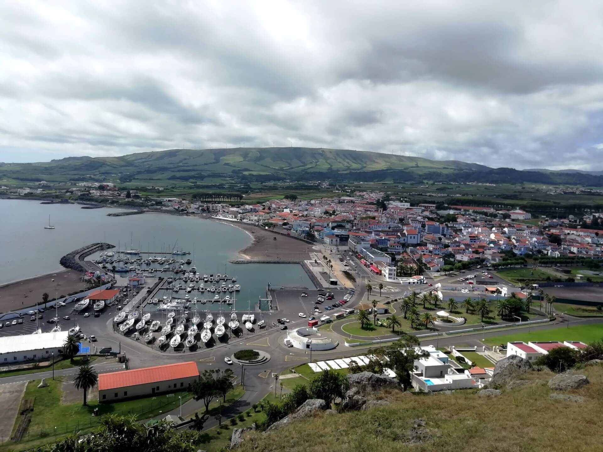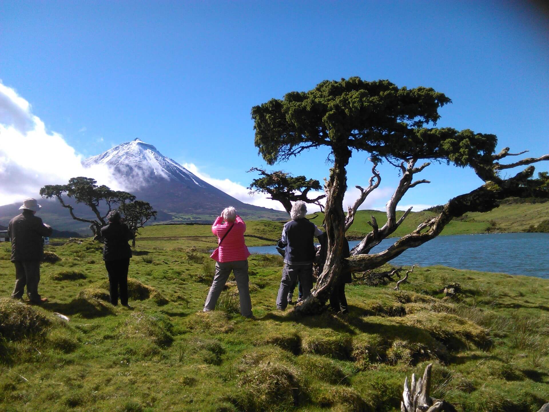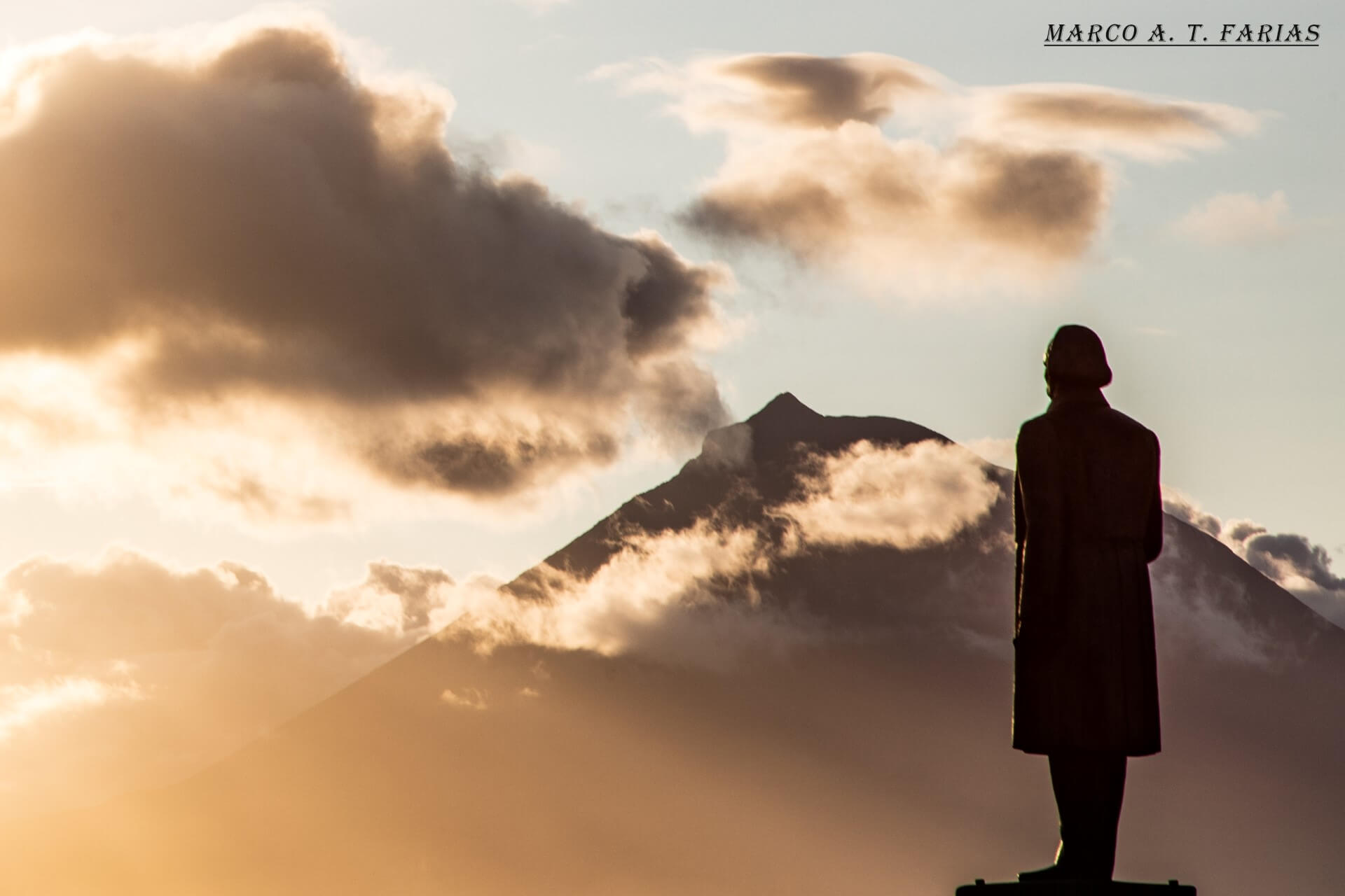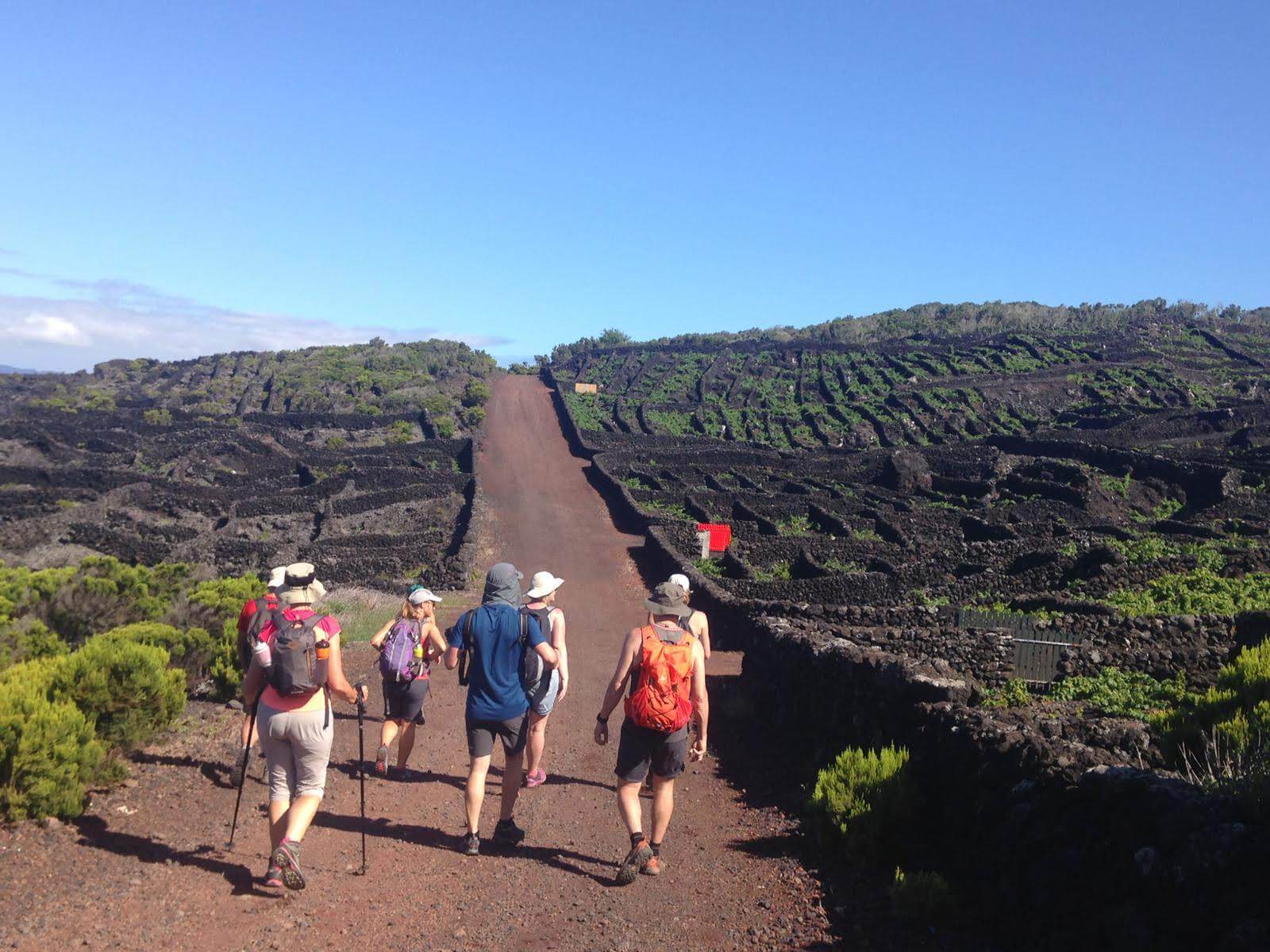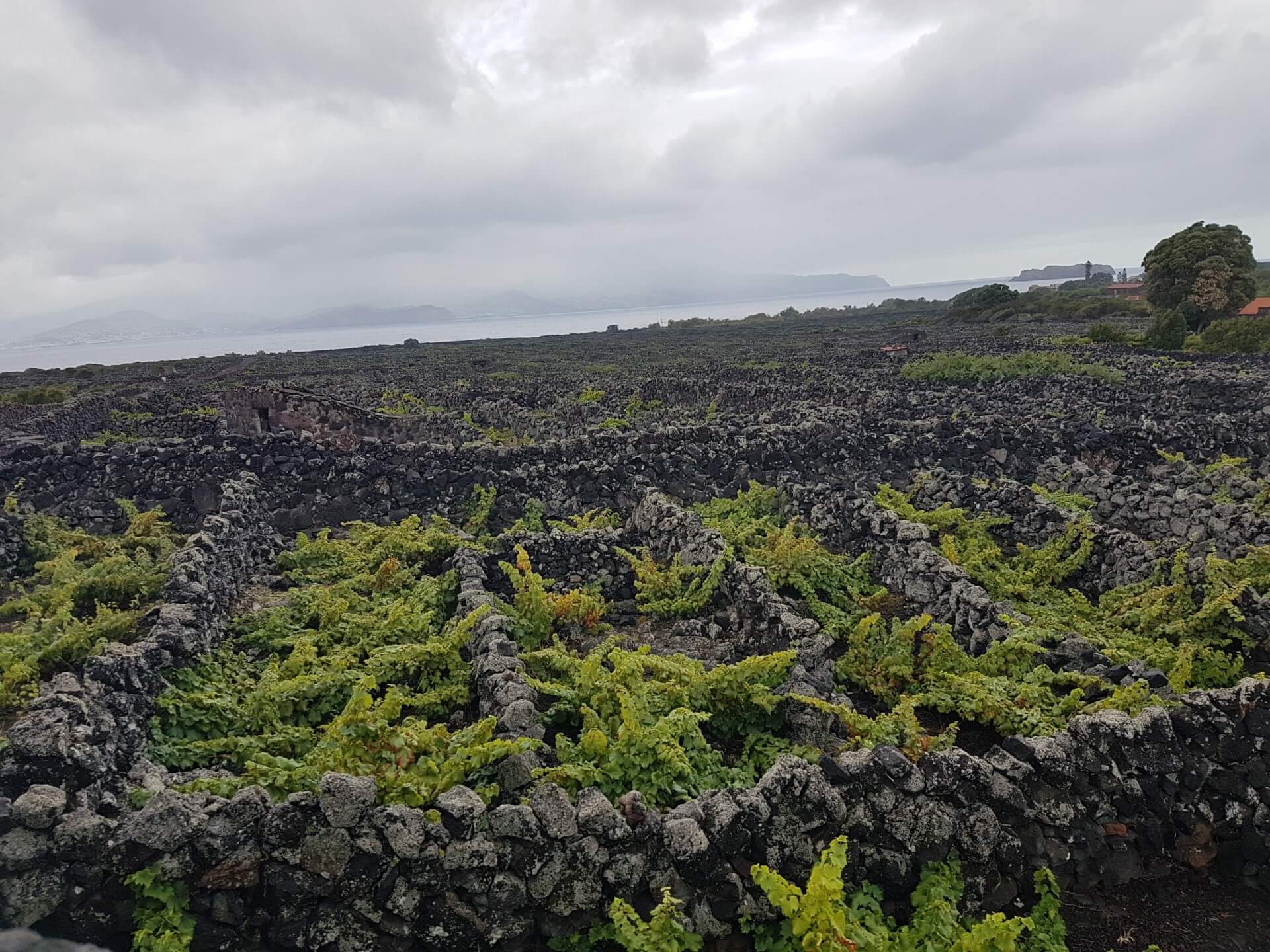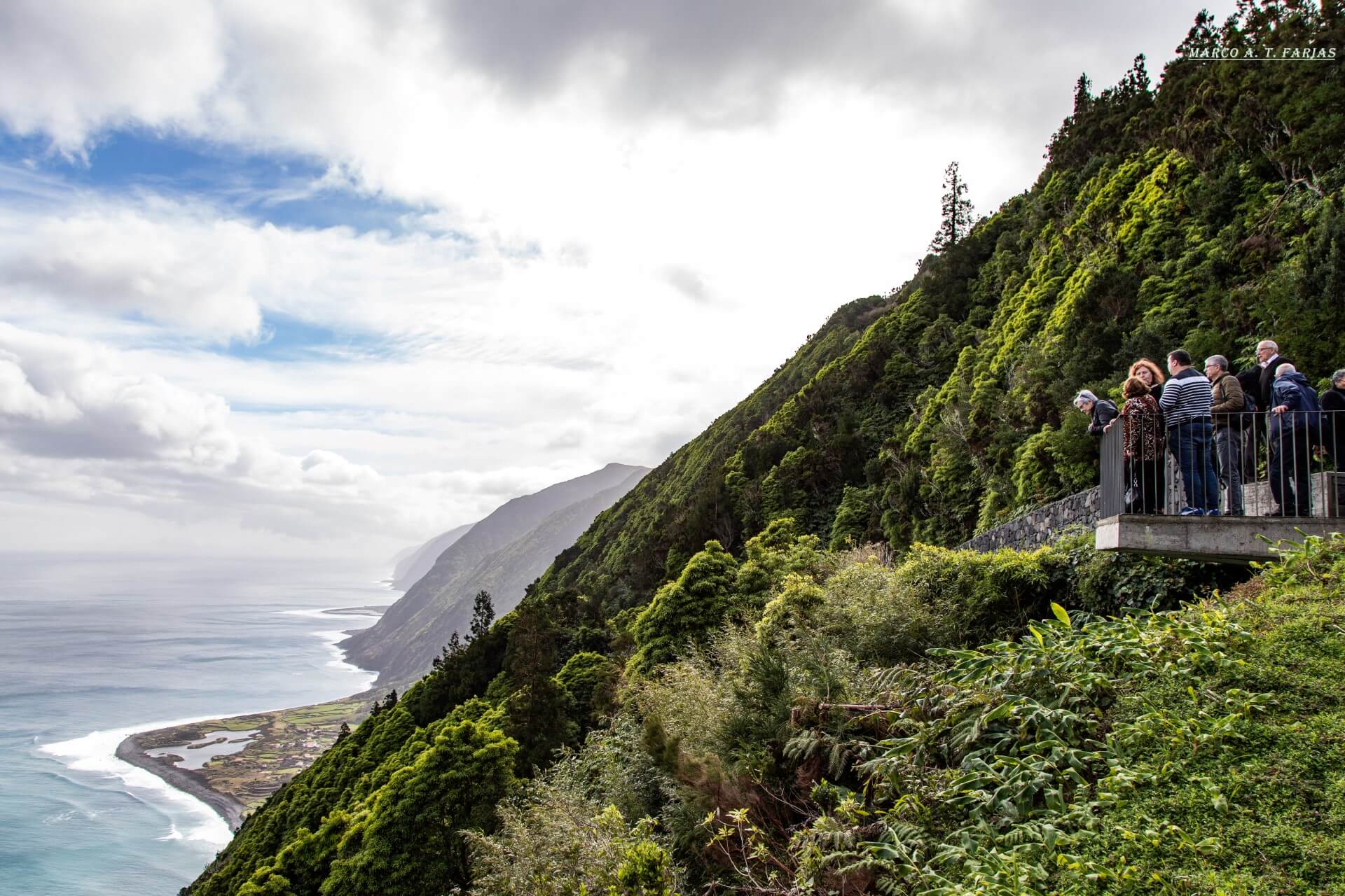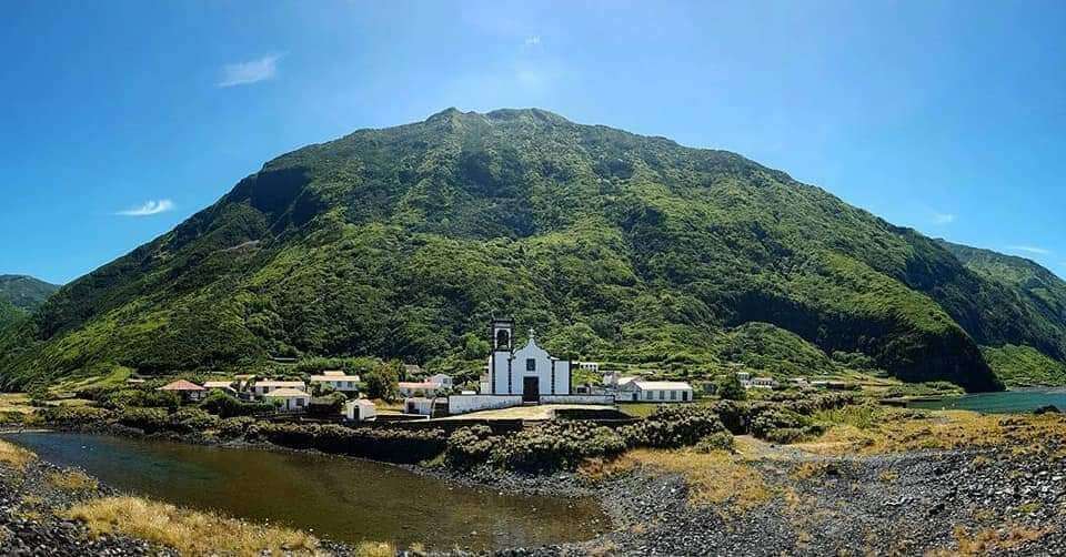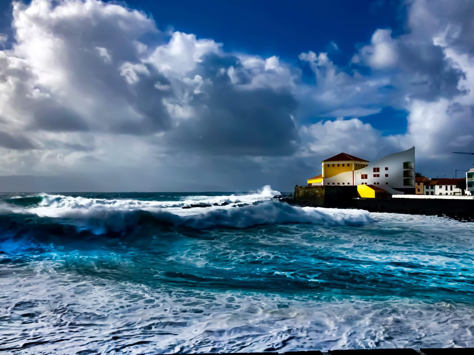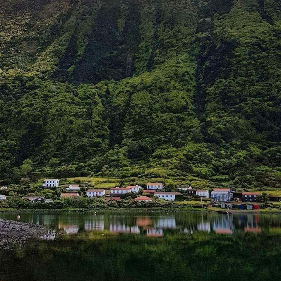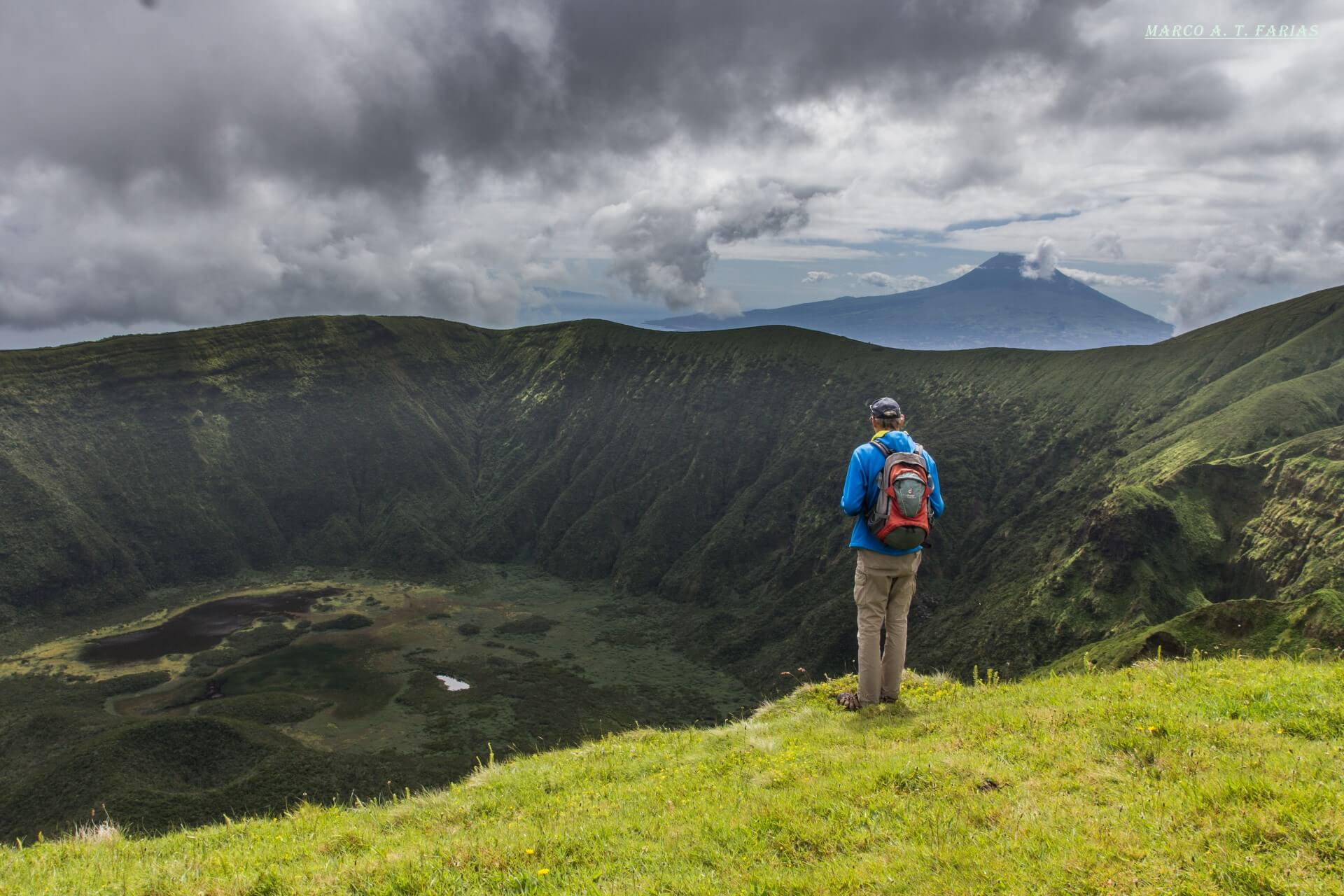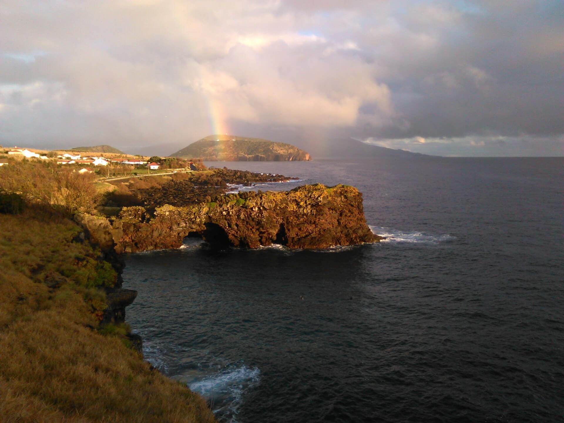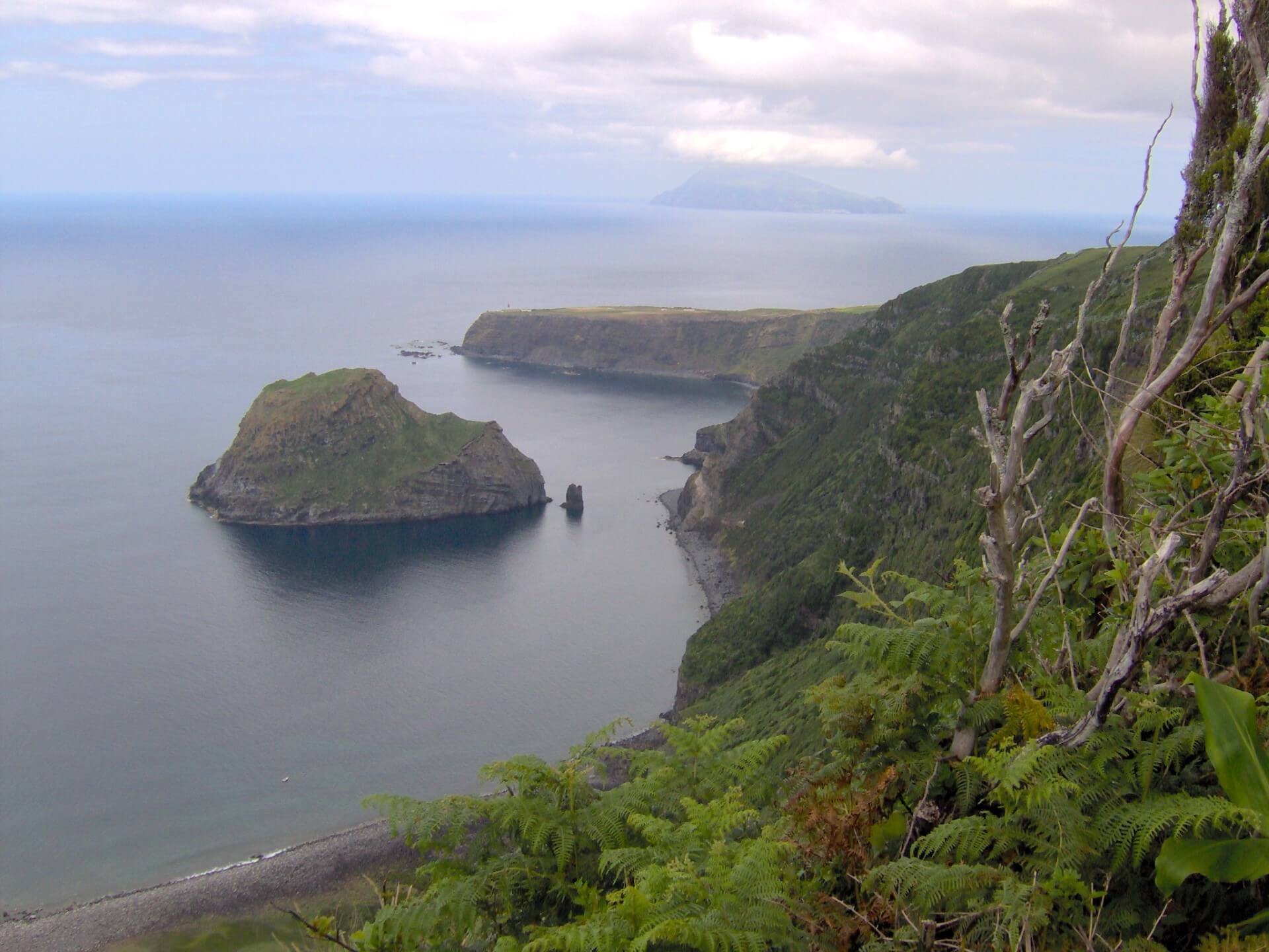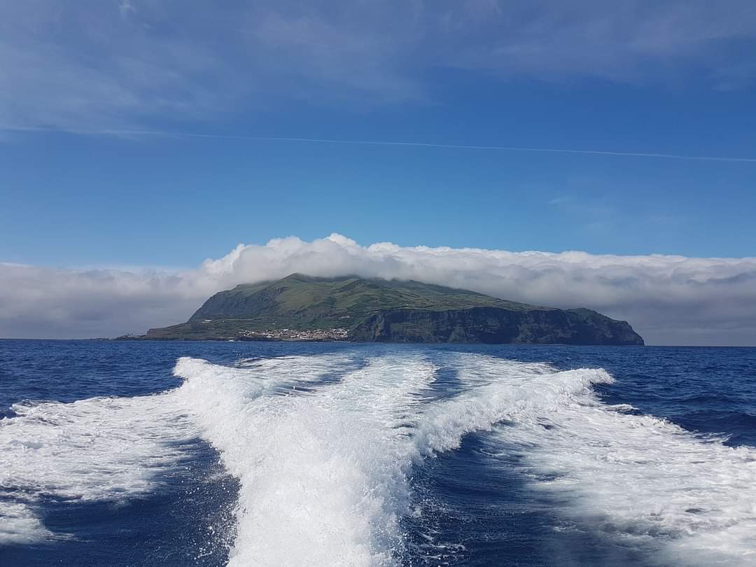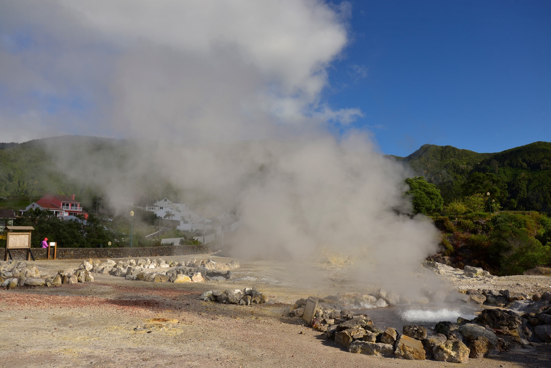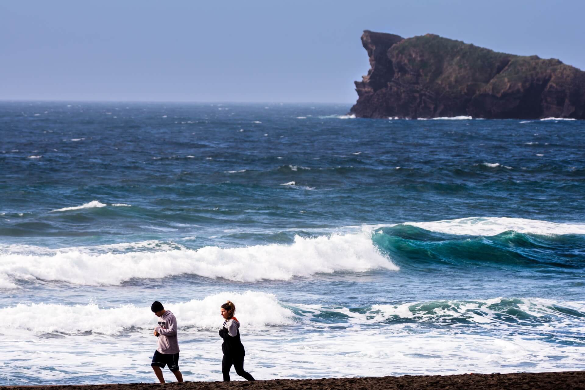


Nine islands located between the Euro-Asian, American and African tectonic plates, where 236 657 people live in a territory of 2325 km2. This Autonomous Region is divided in three geographical groups: the Eastern Group – Santa Maria and São Miguel, the Central Group, comprising Terceira, Graciosa, São Jorge, Pico and Faial, and the Western Group – Flores and Corvo.
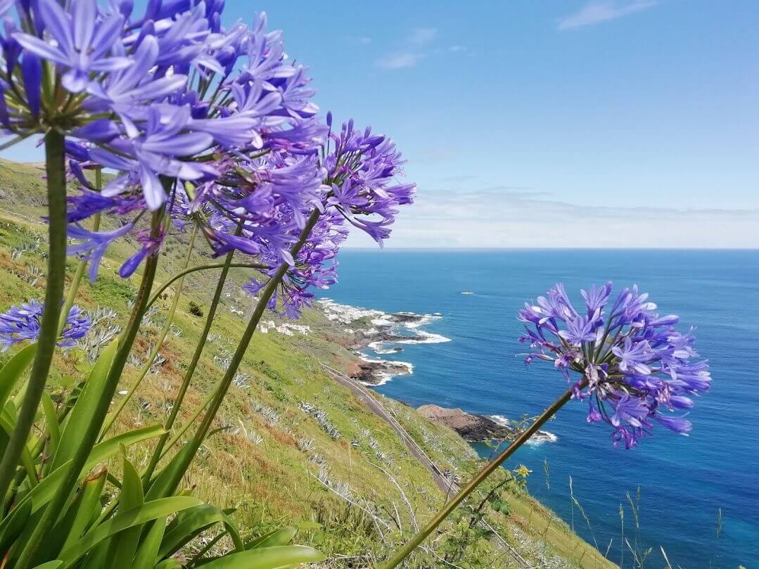
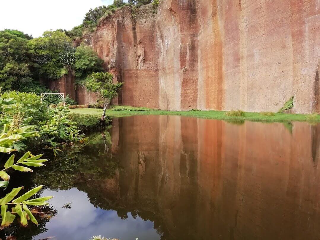
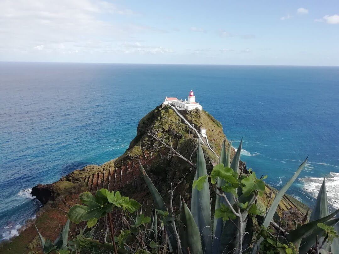
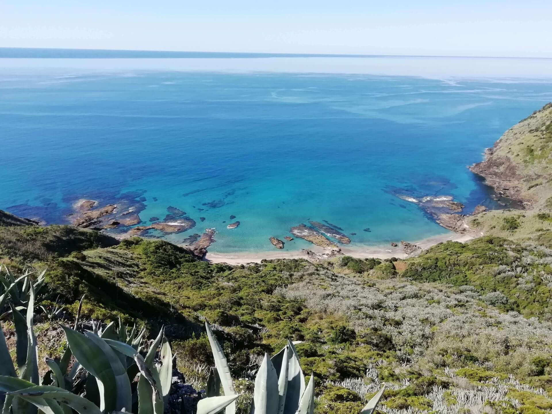
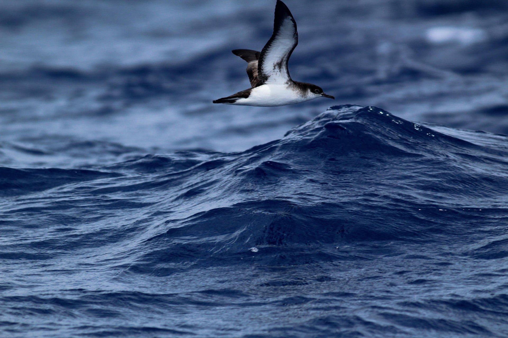
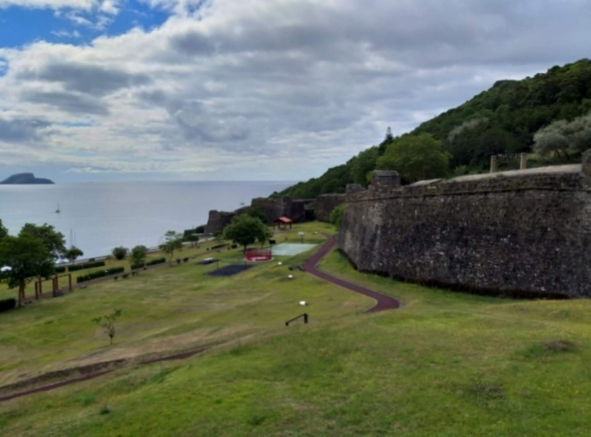
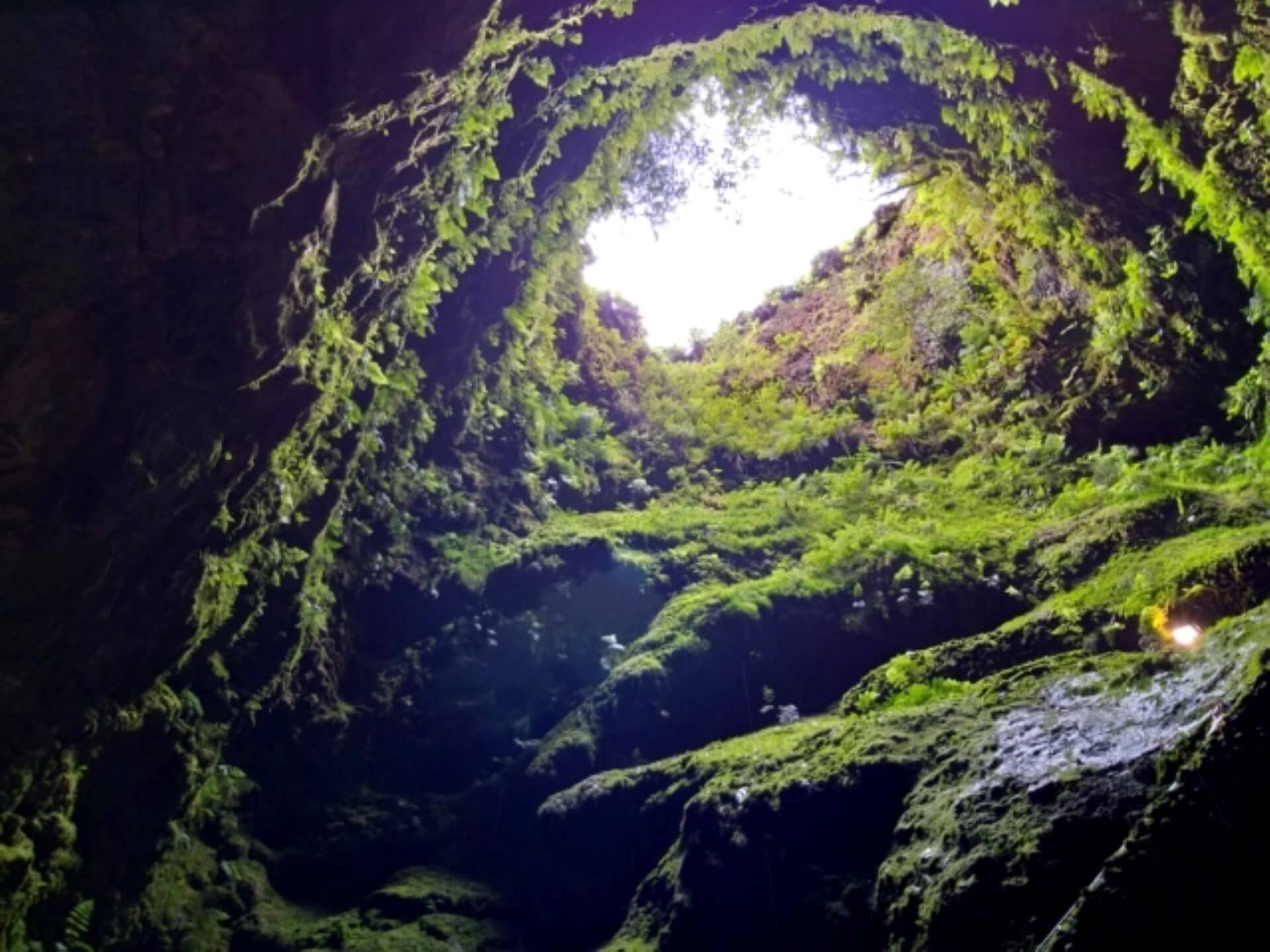
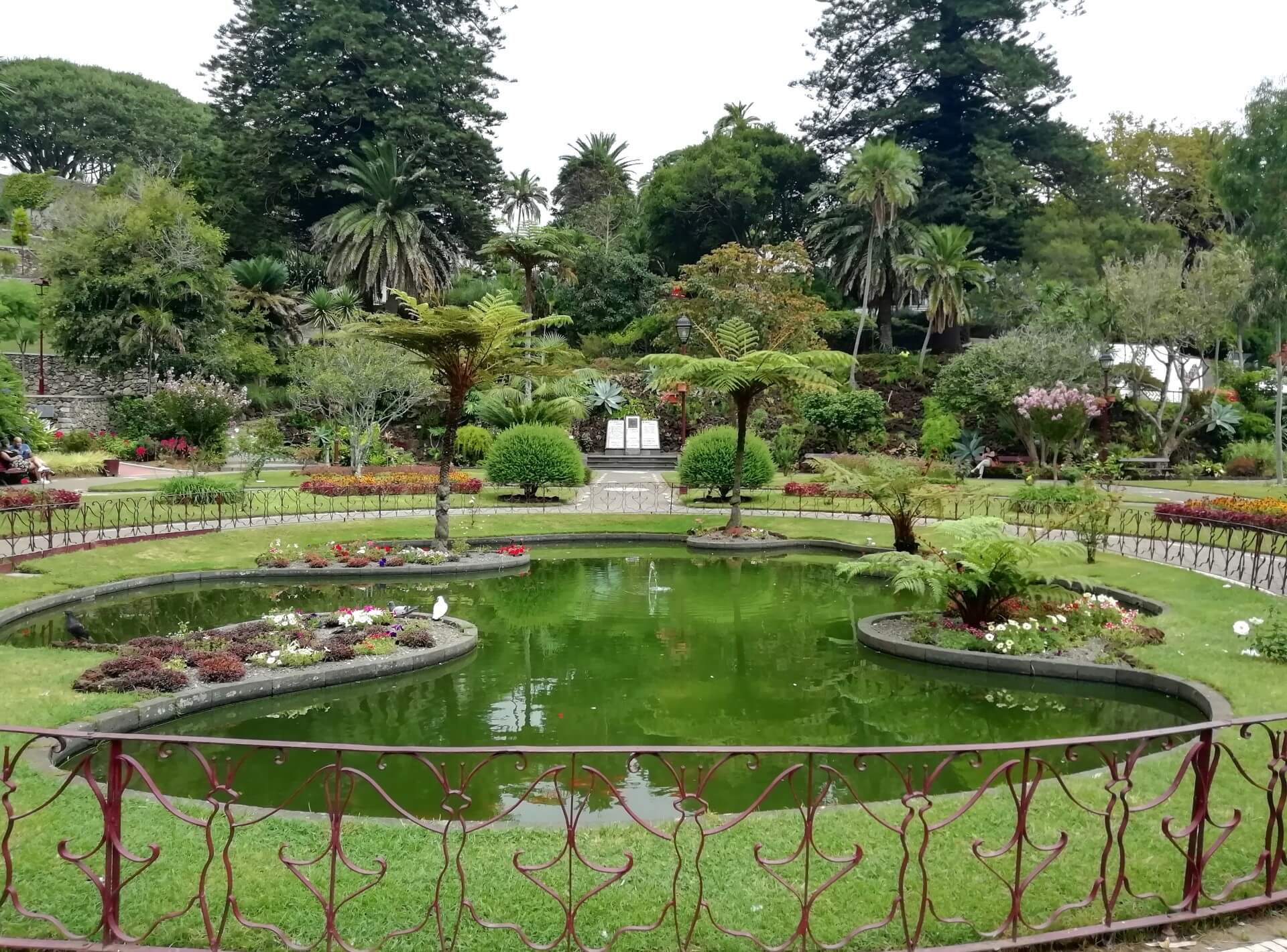
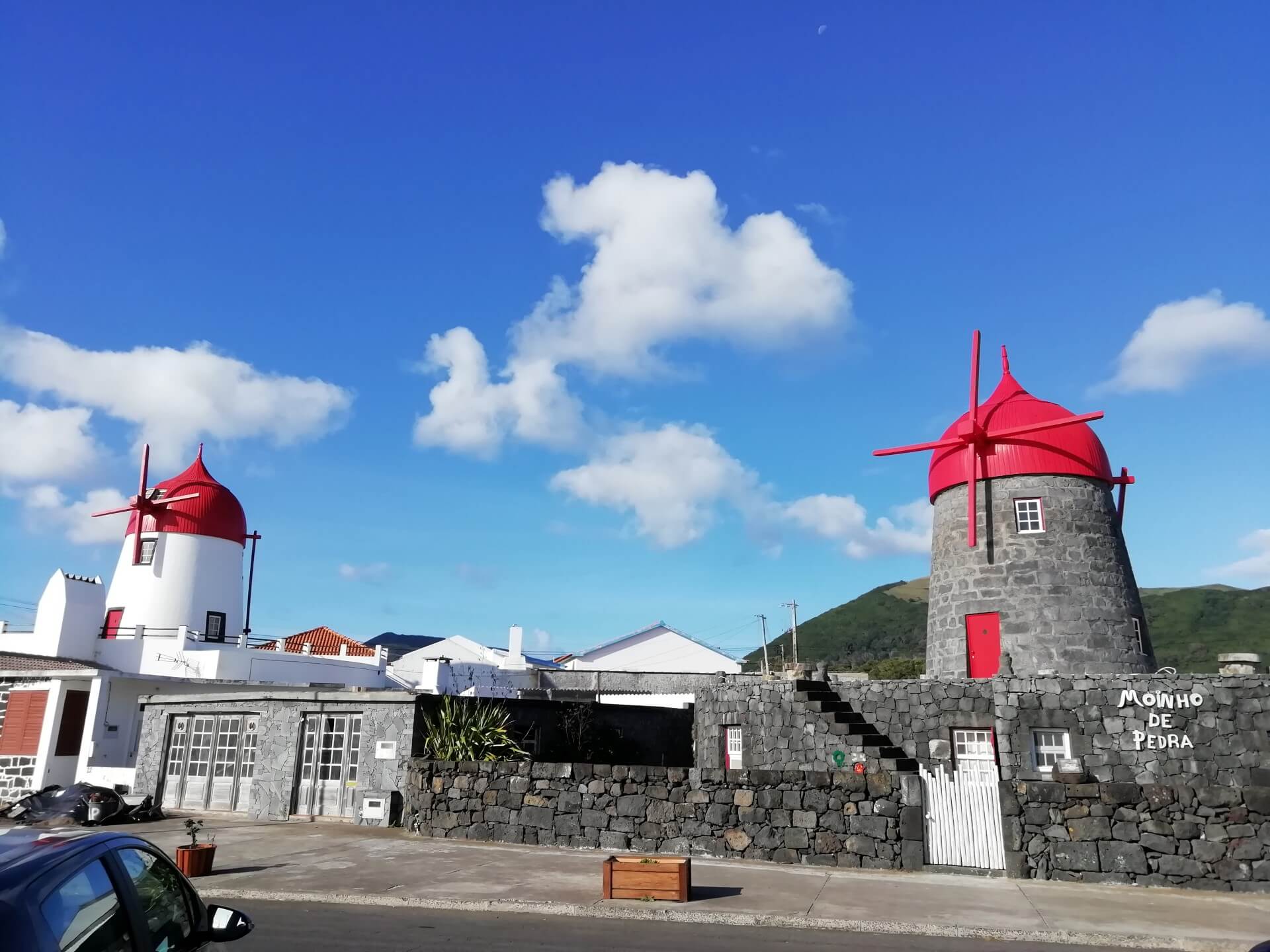
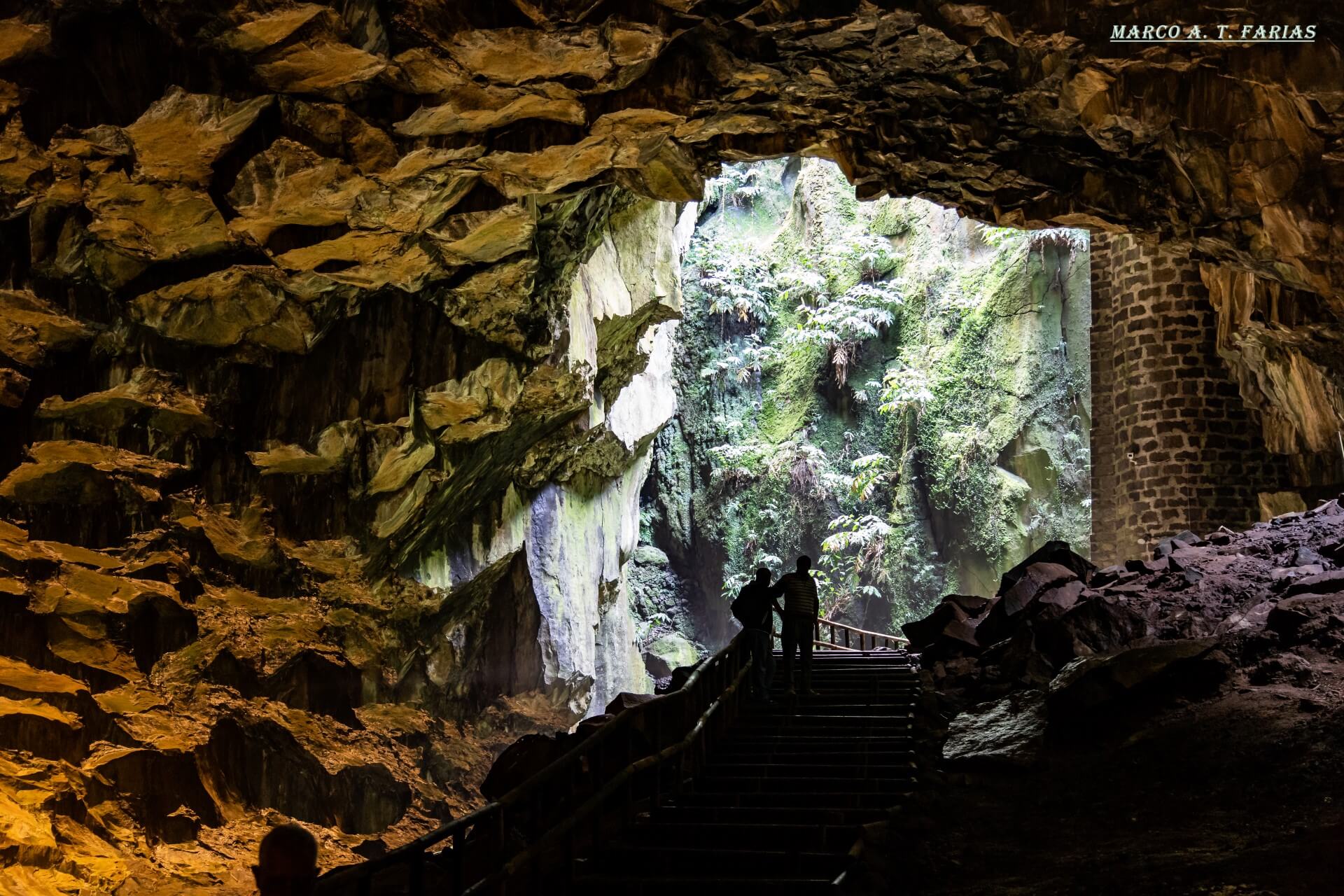
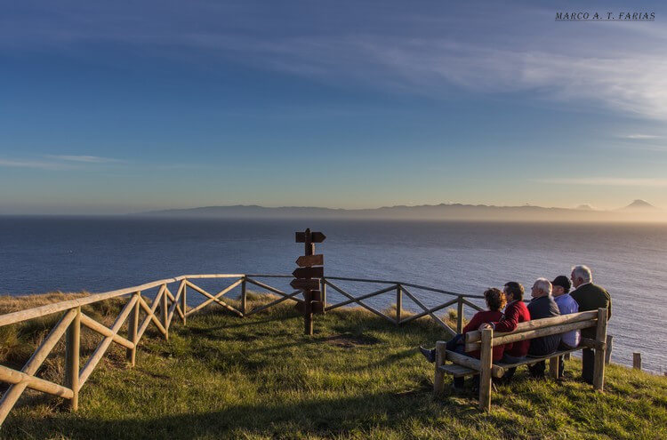
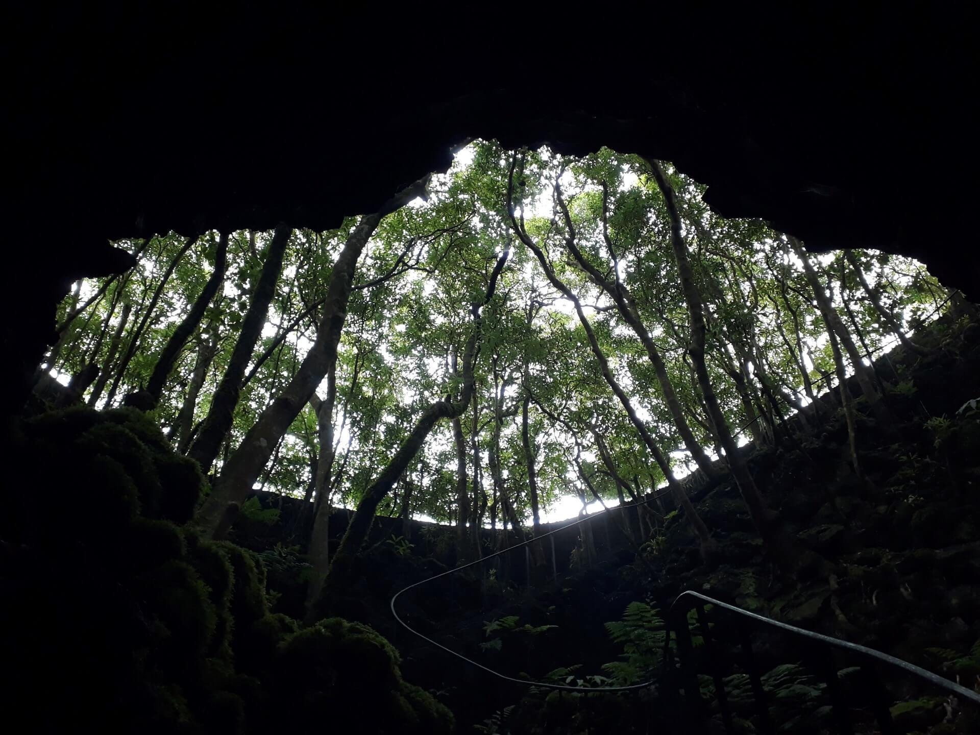
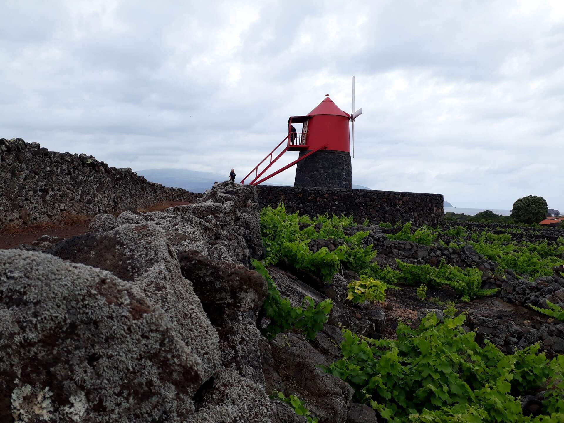
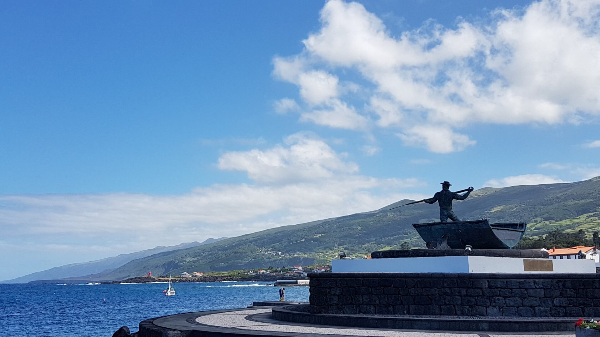
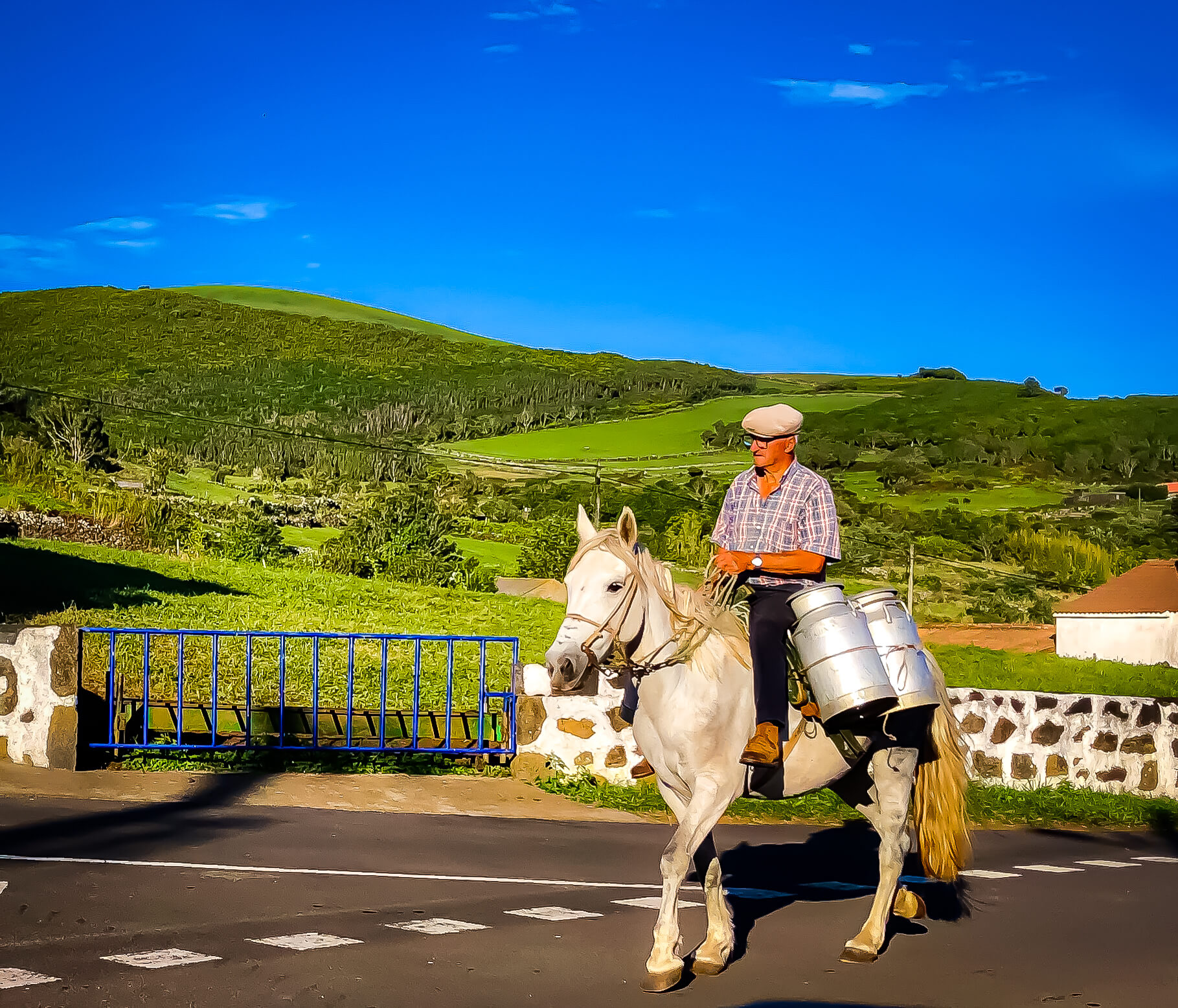
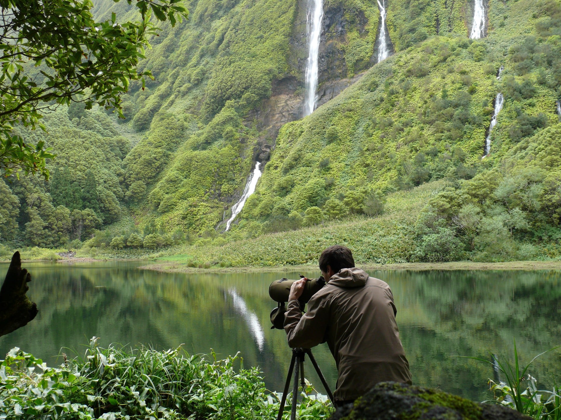
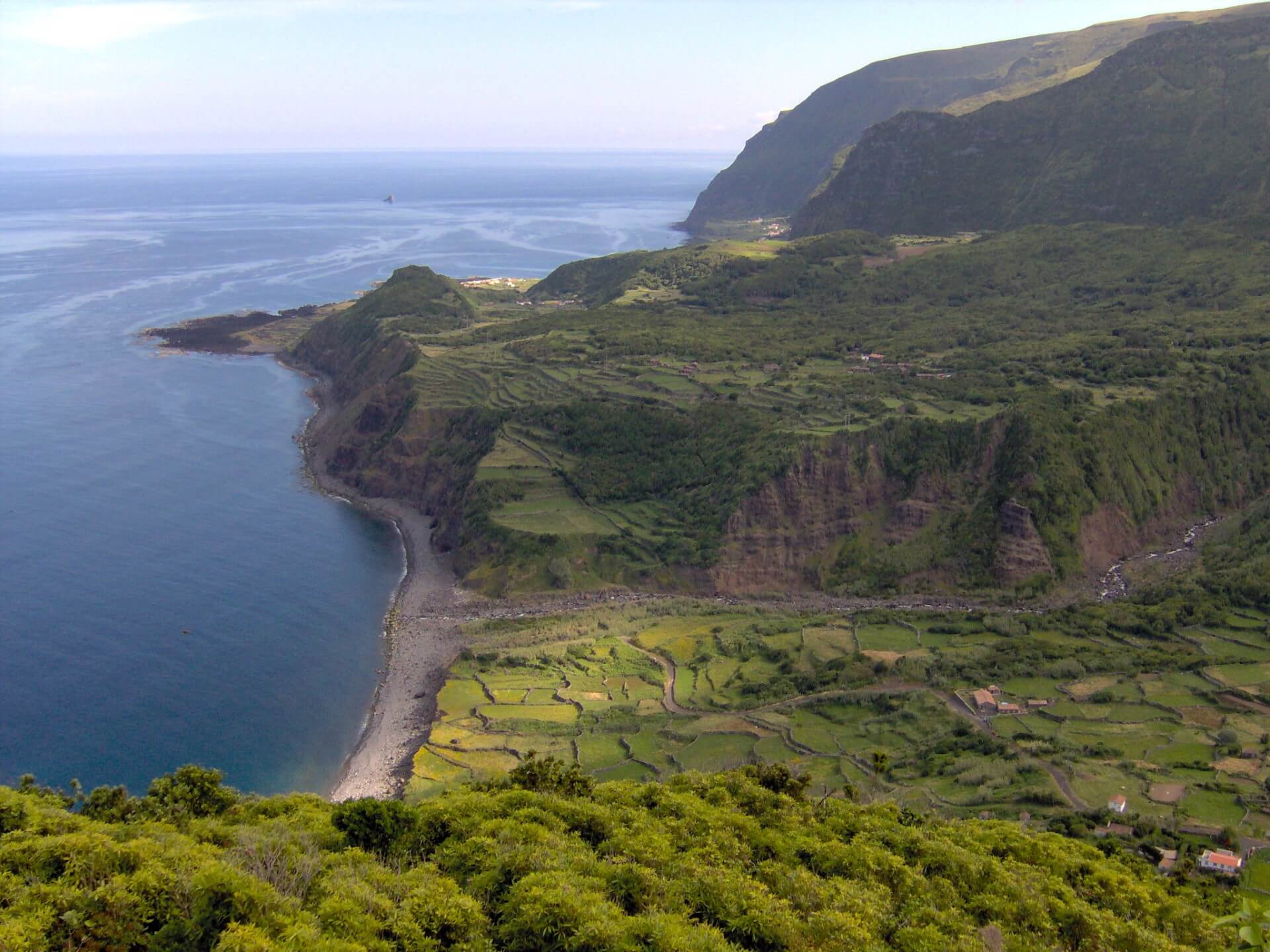
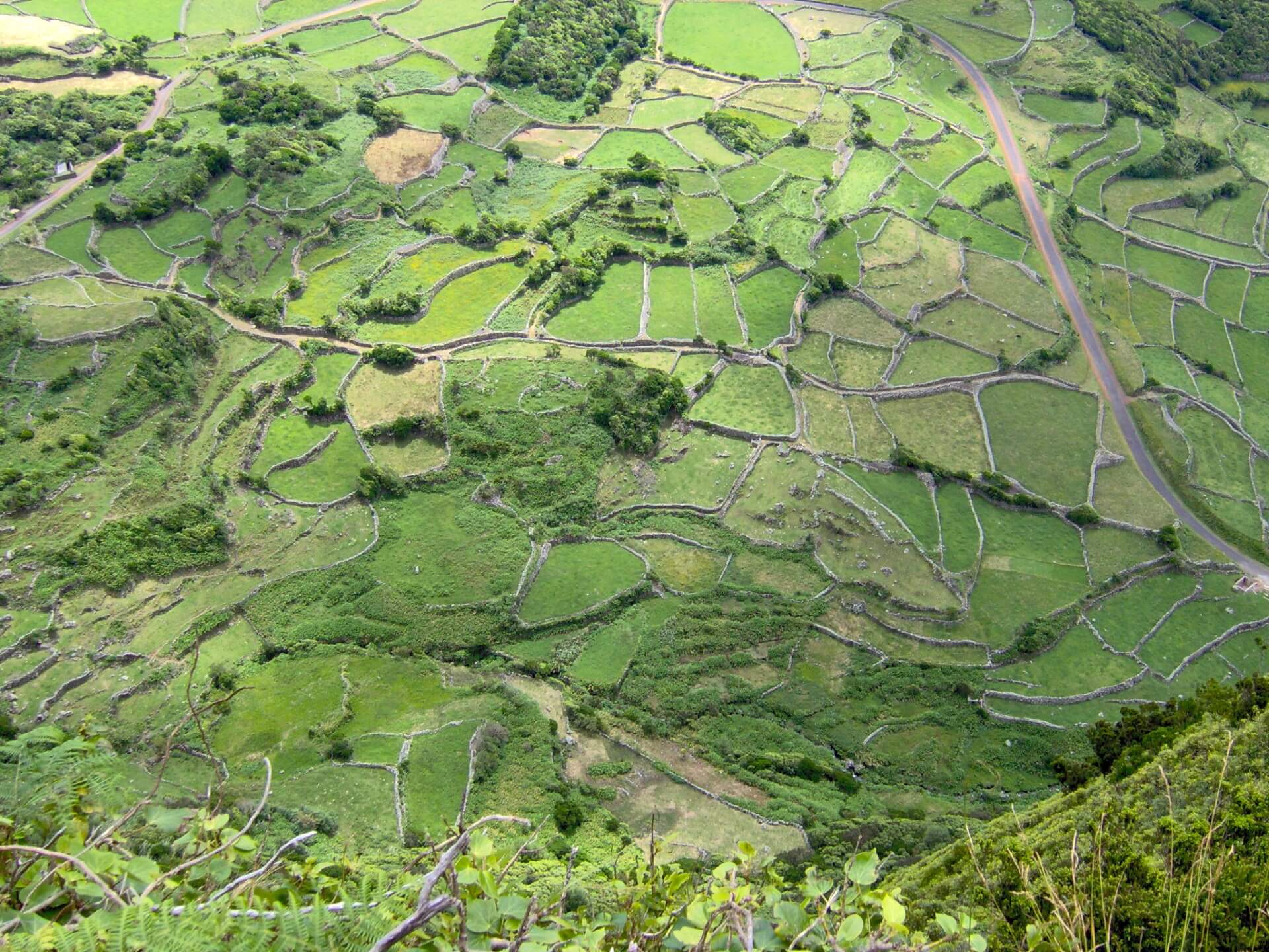
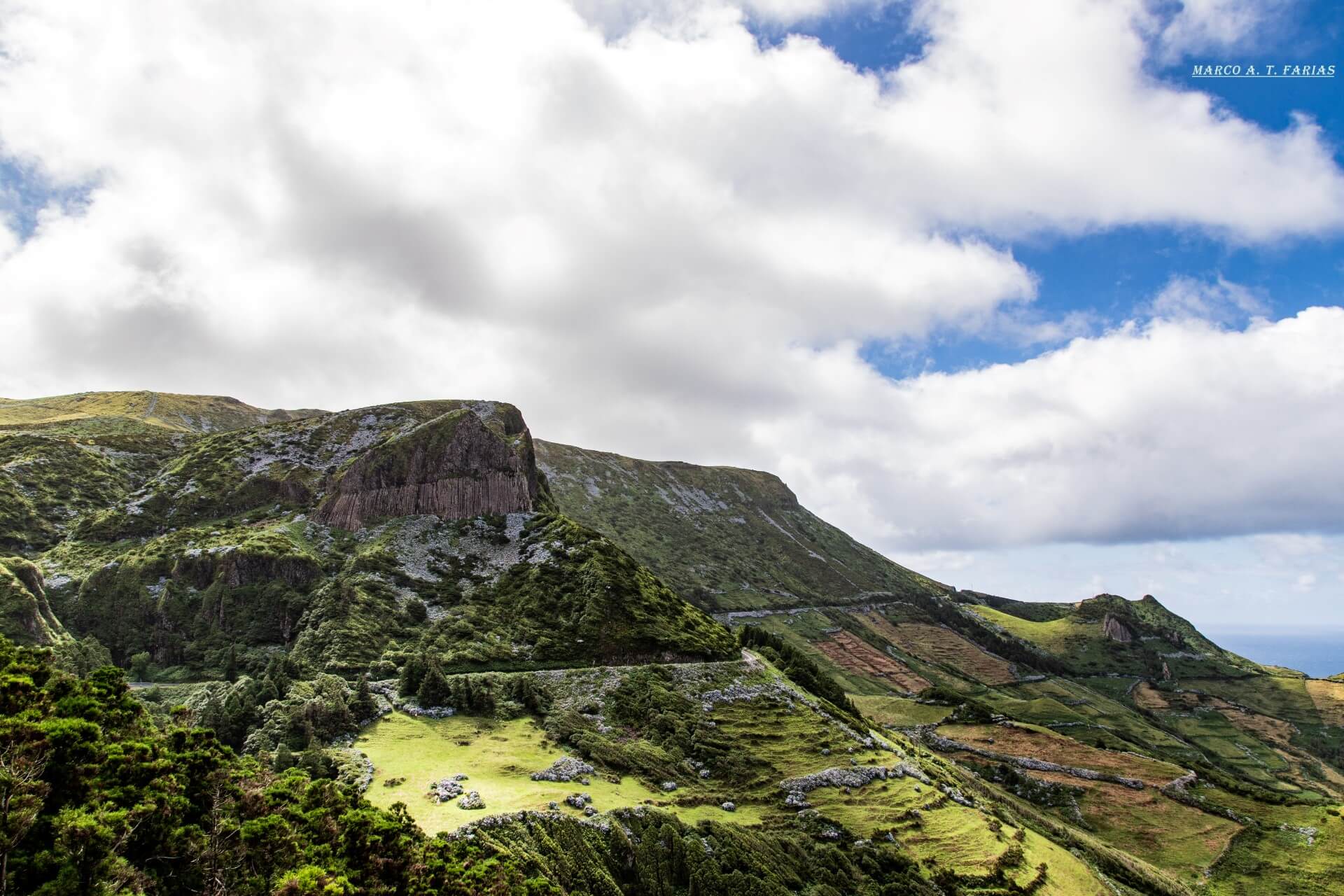
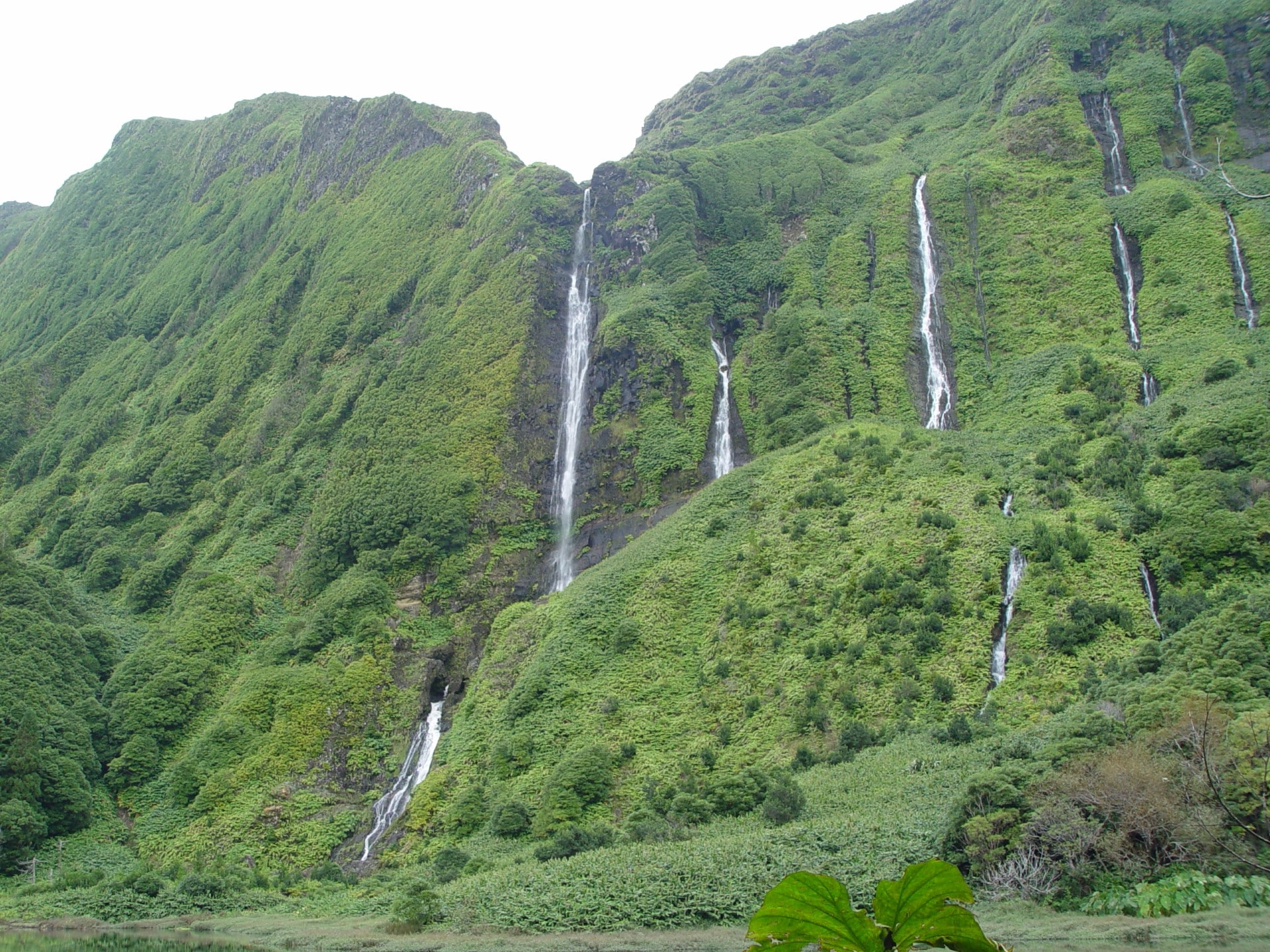
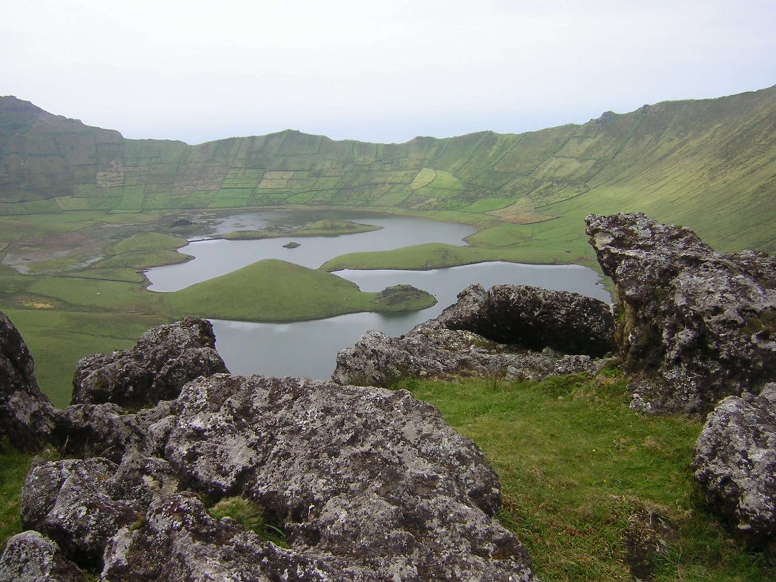
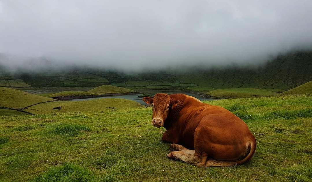
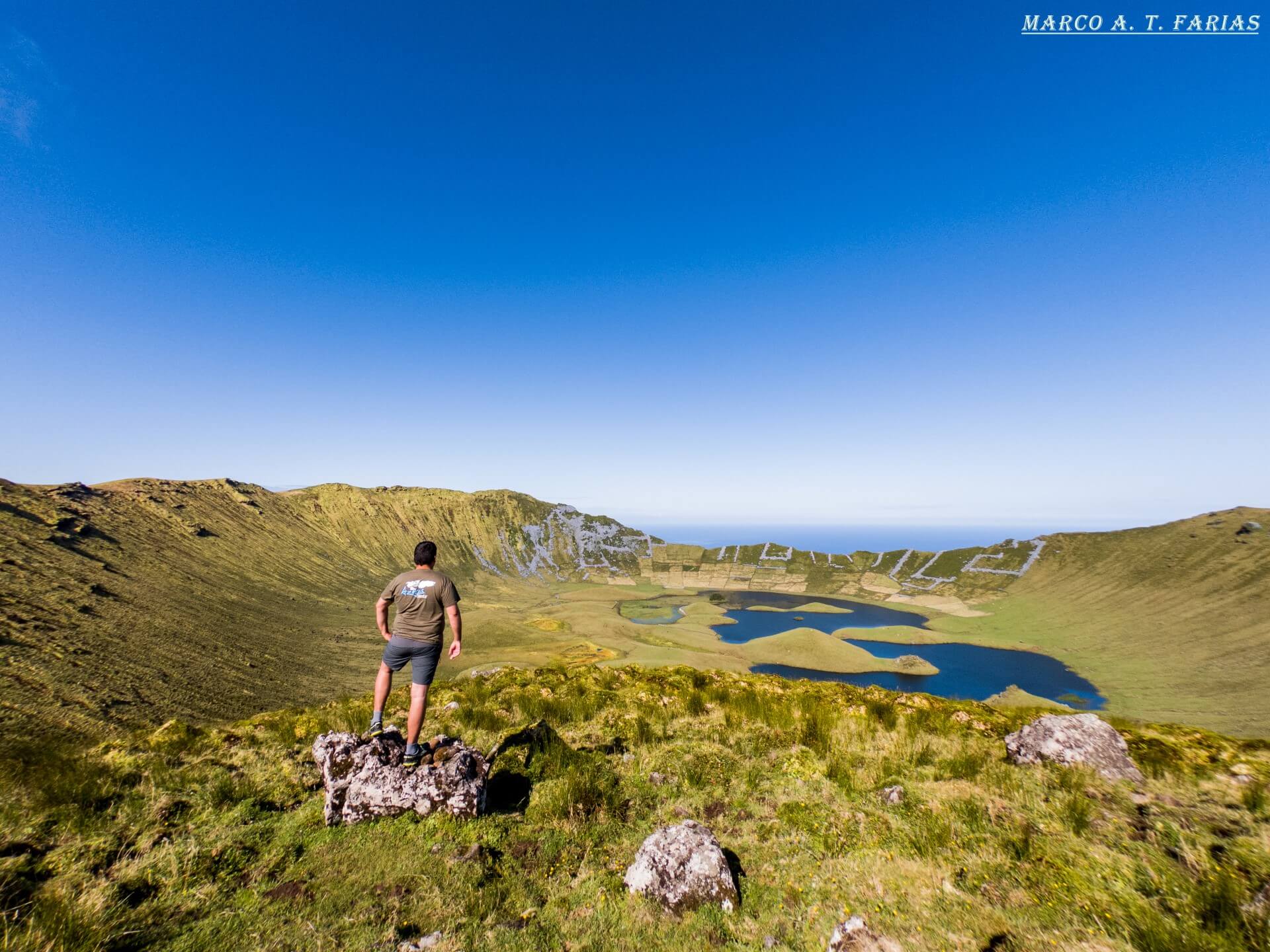
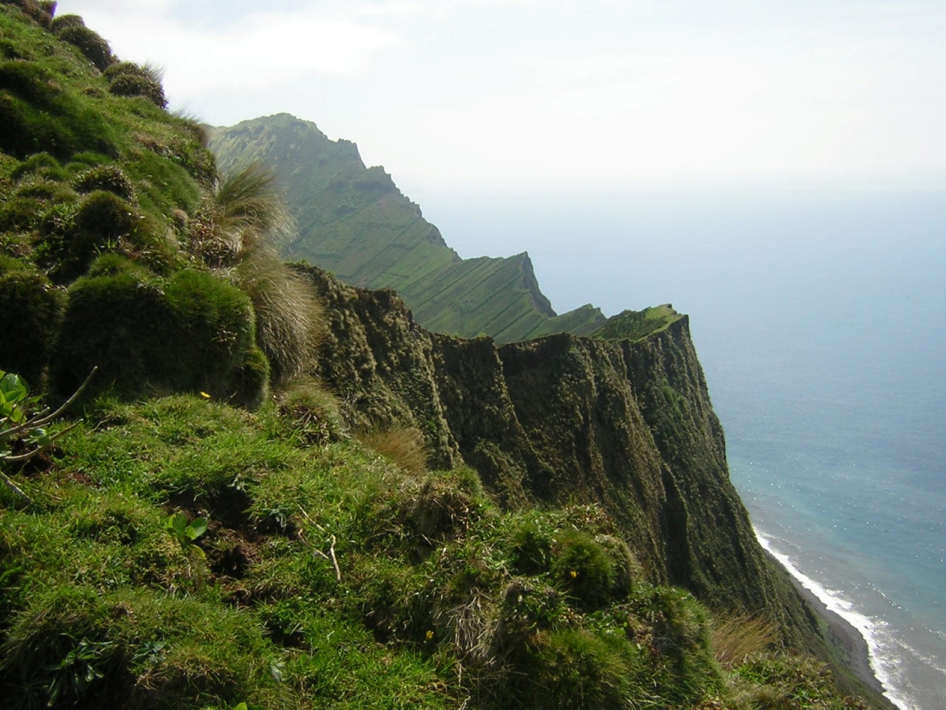
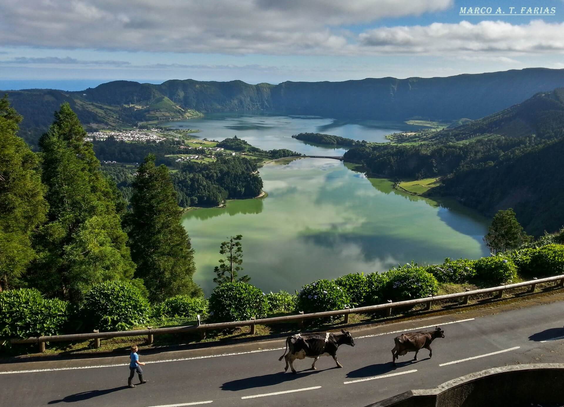
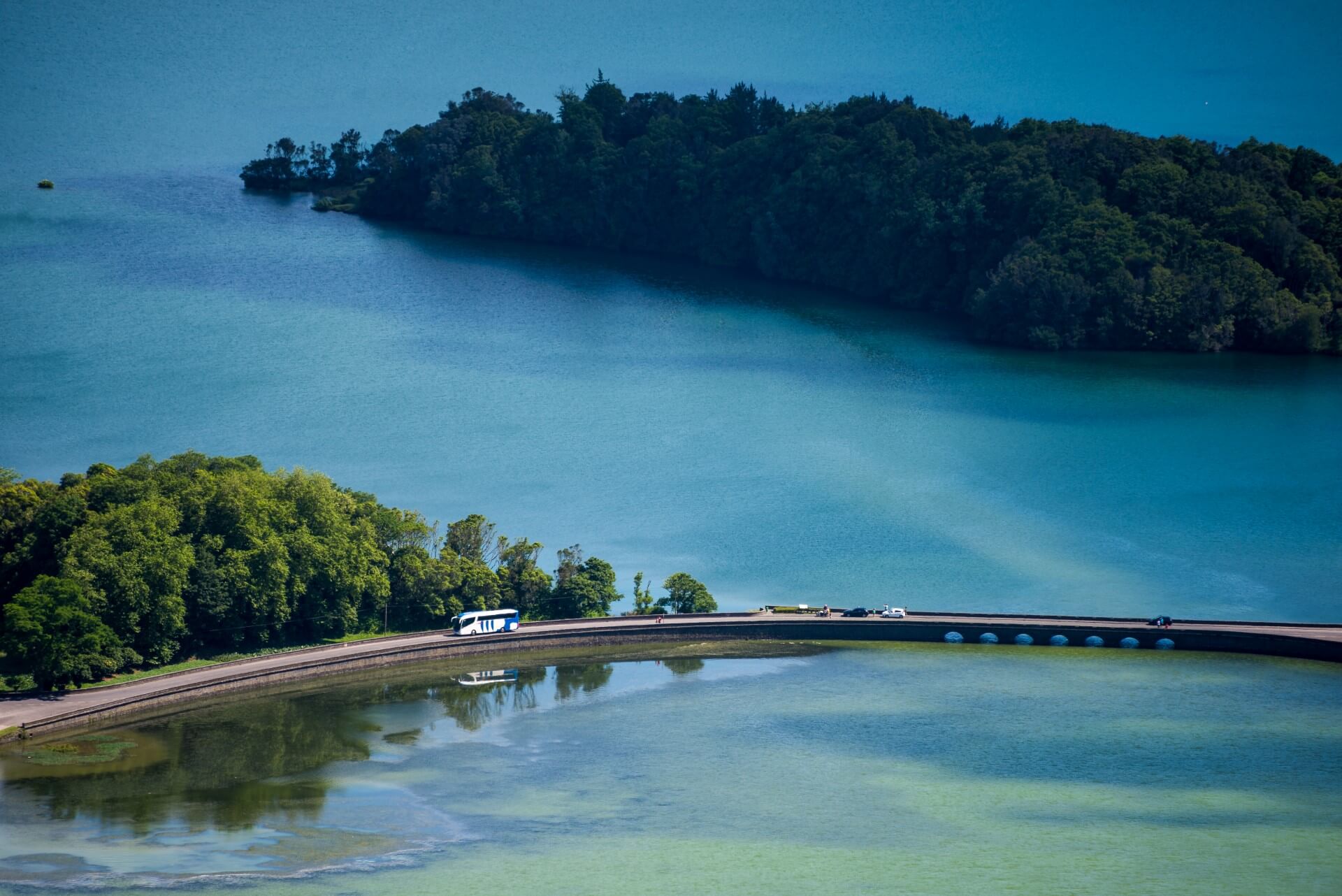
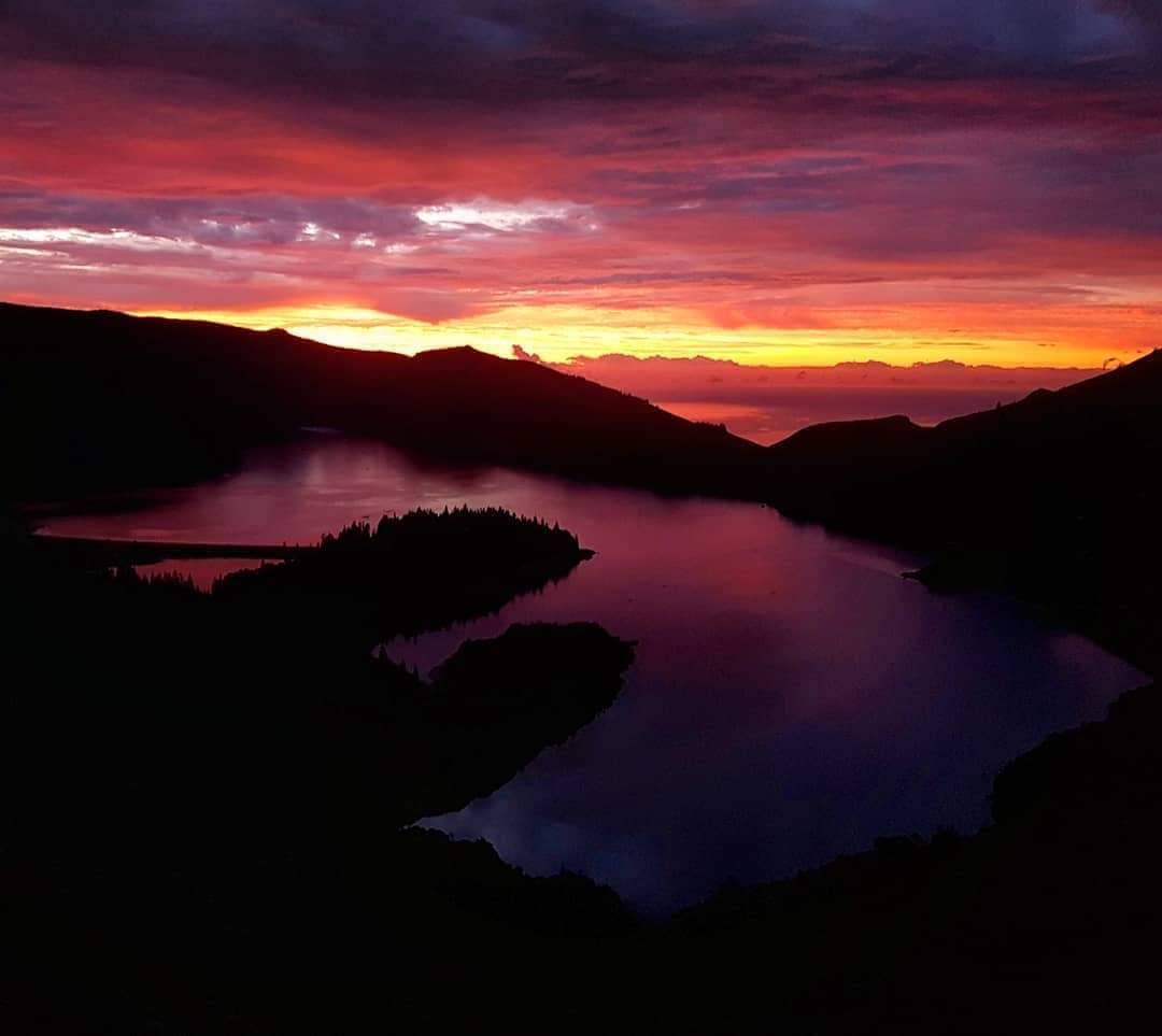
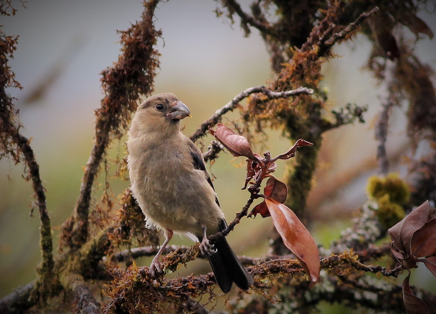
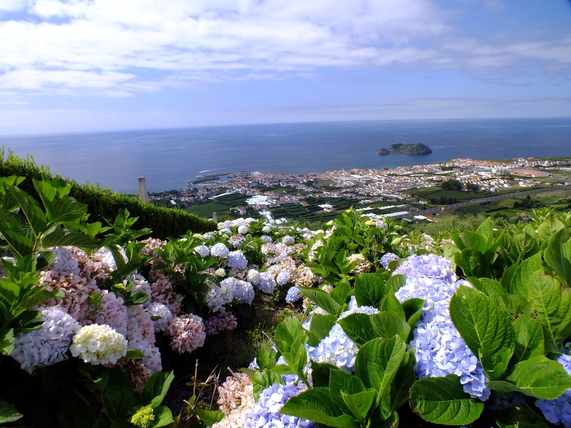
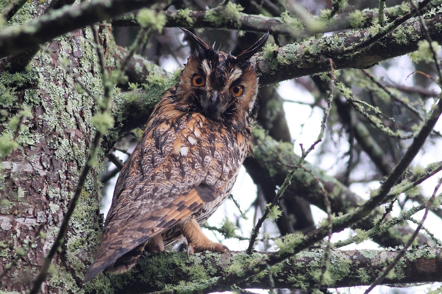
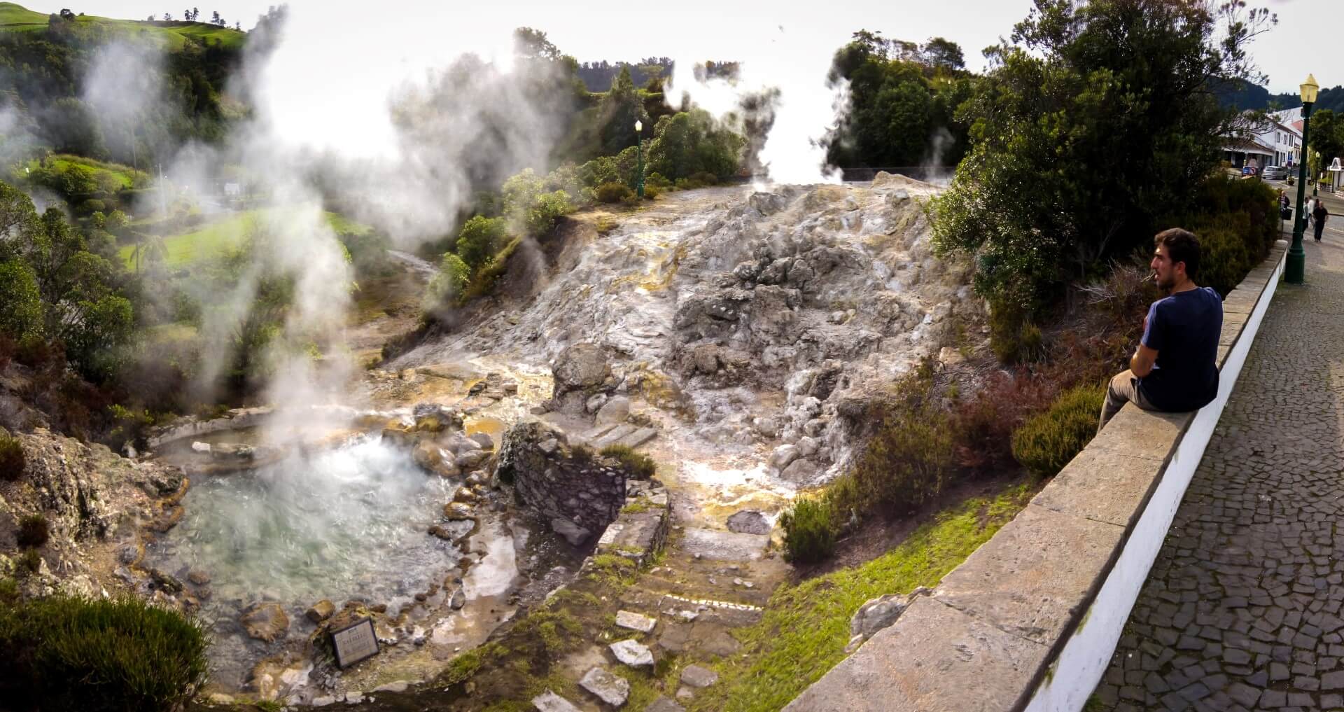
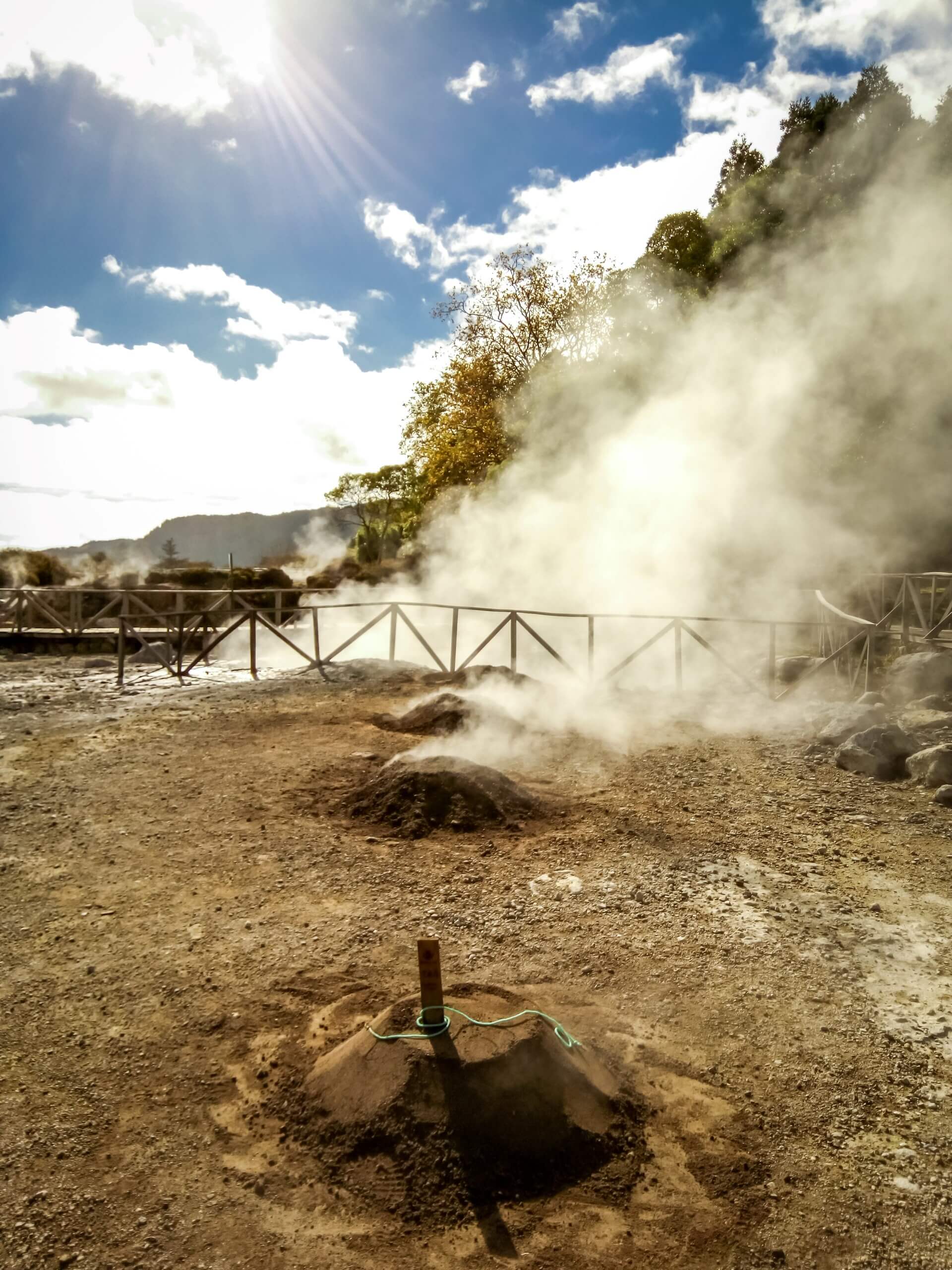
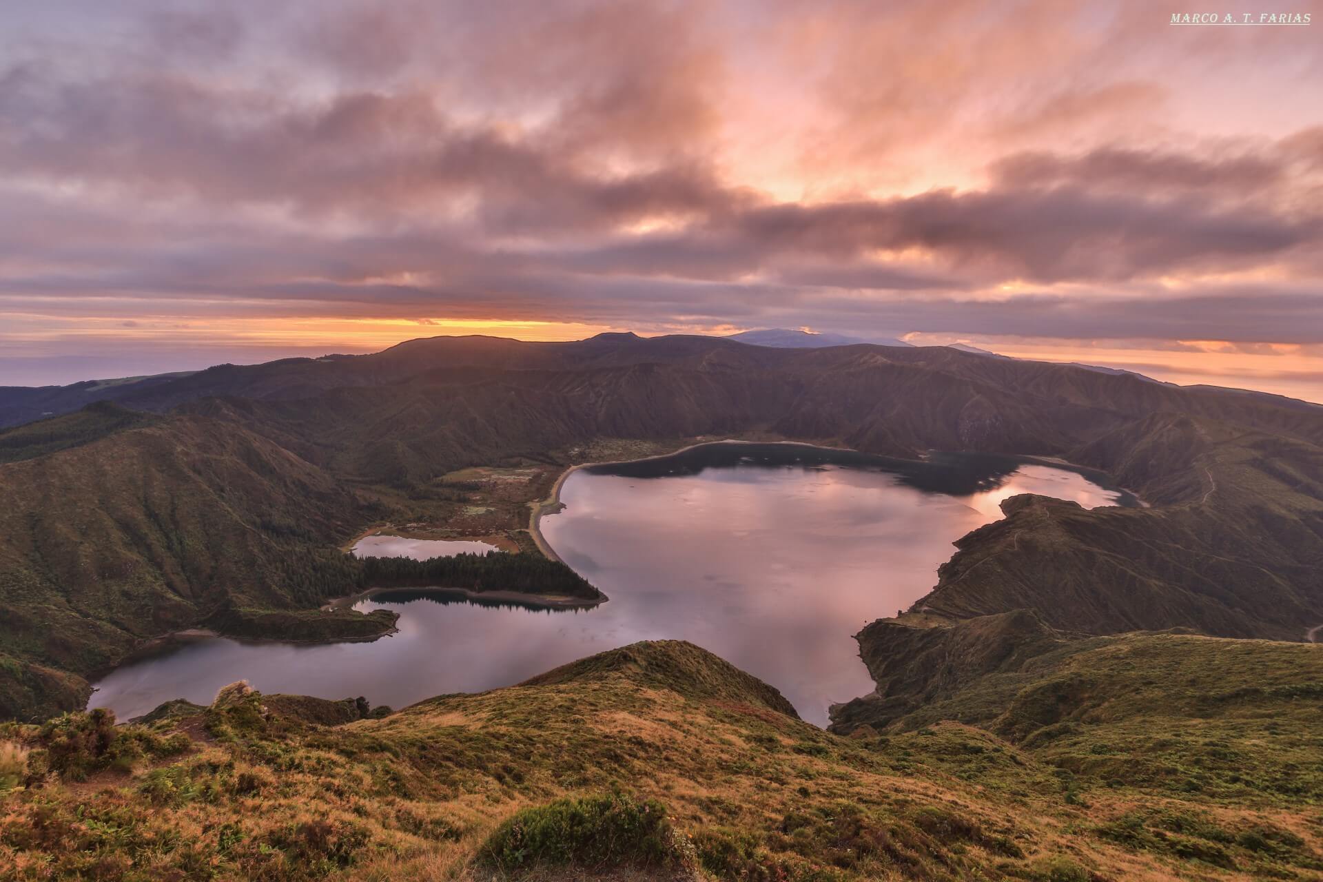
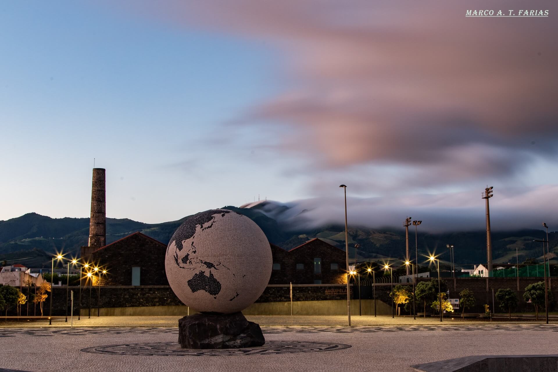
Known for its nature, the Azores offer nine islands of volcanic origin, each island, with its own characteristics and peculiarities, is unique.
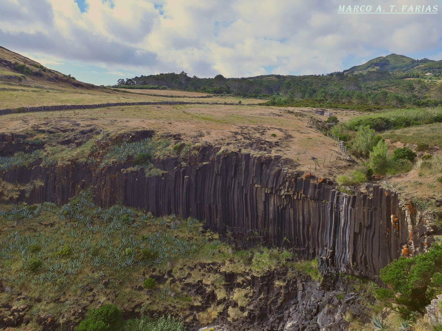
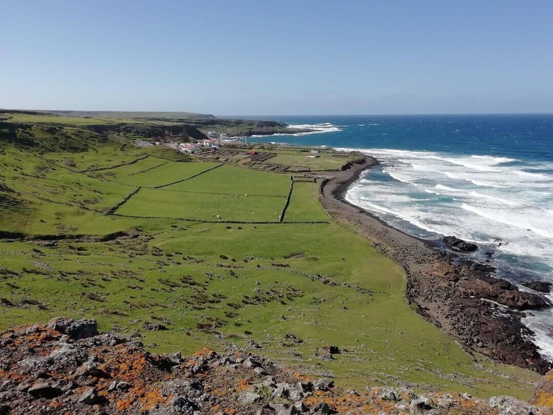
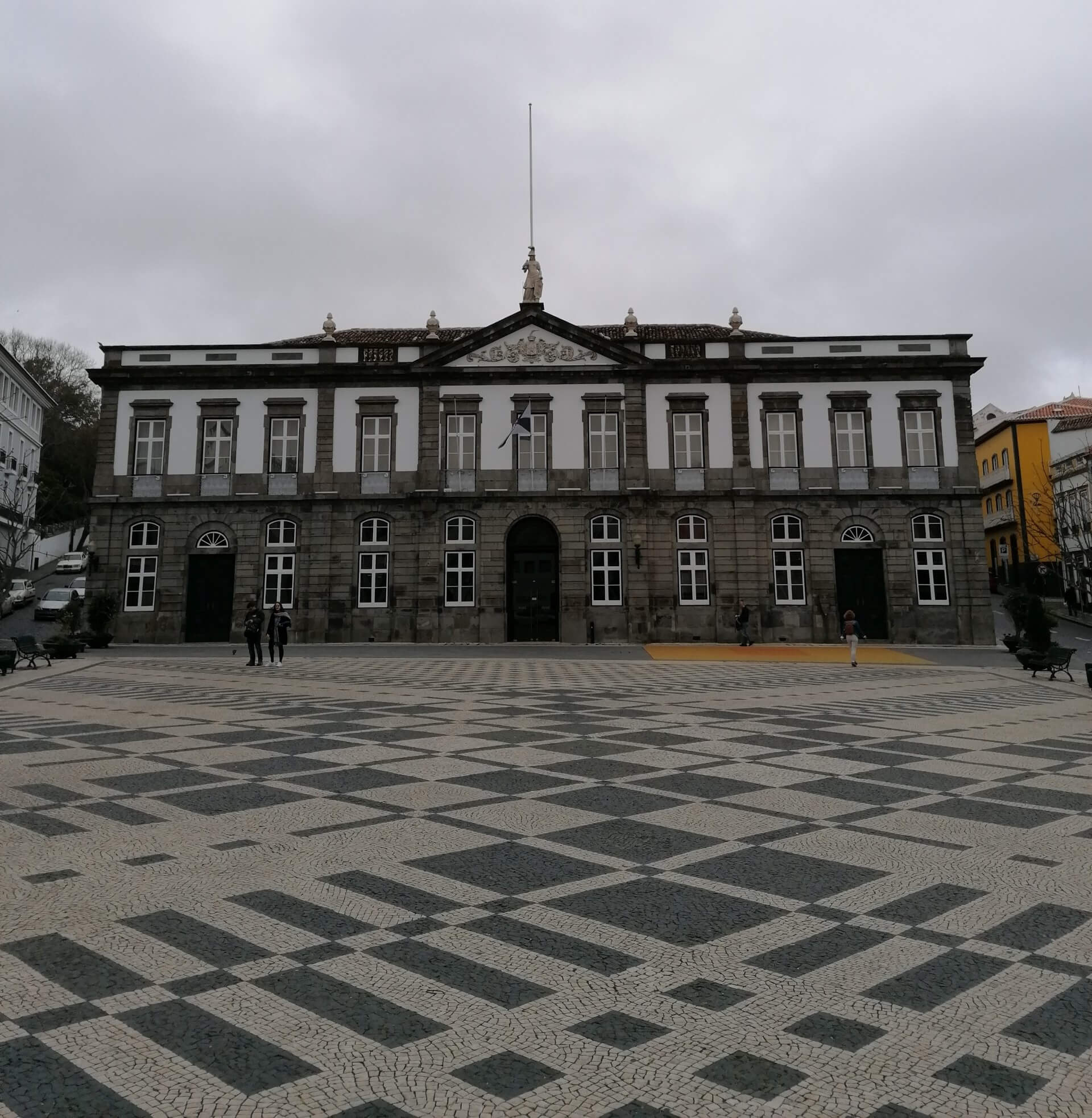
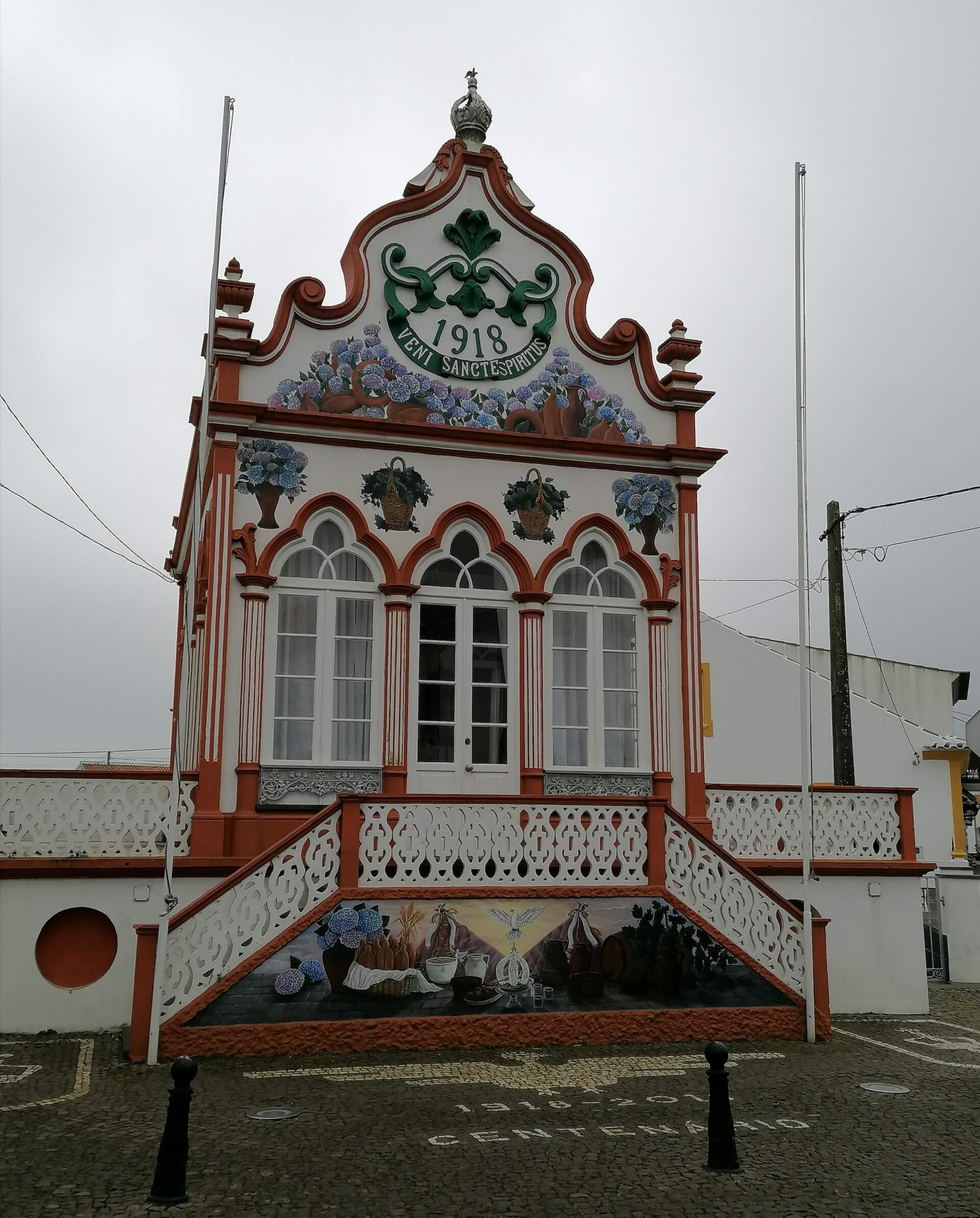
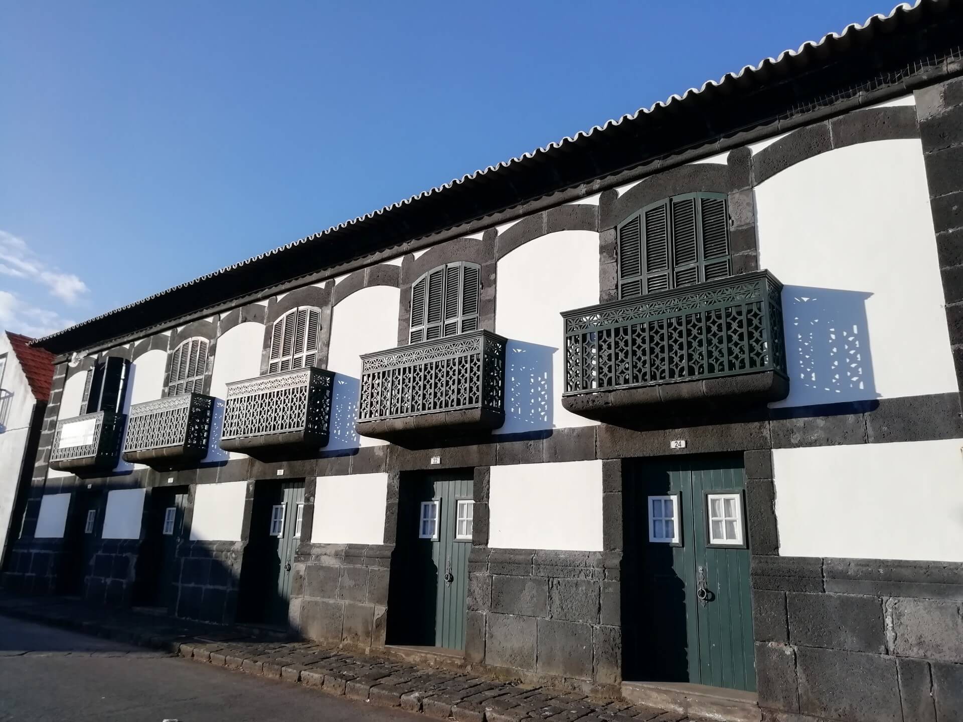
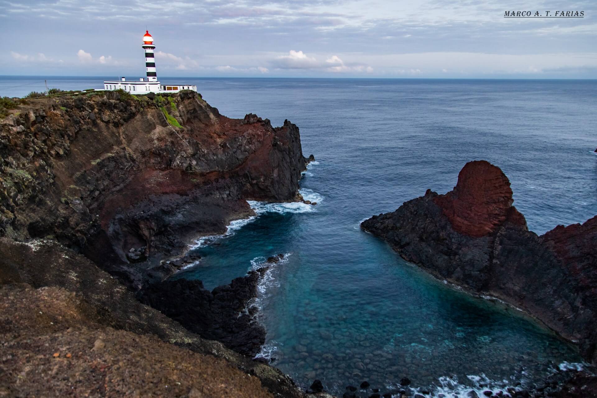
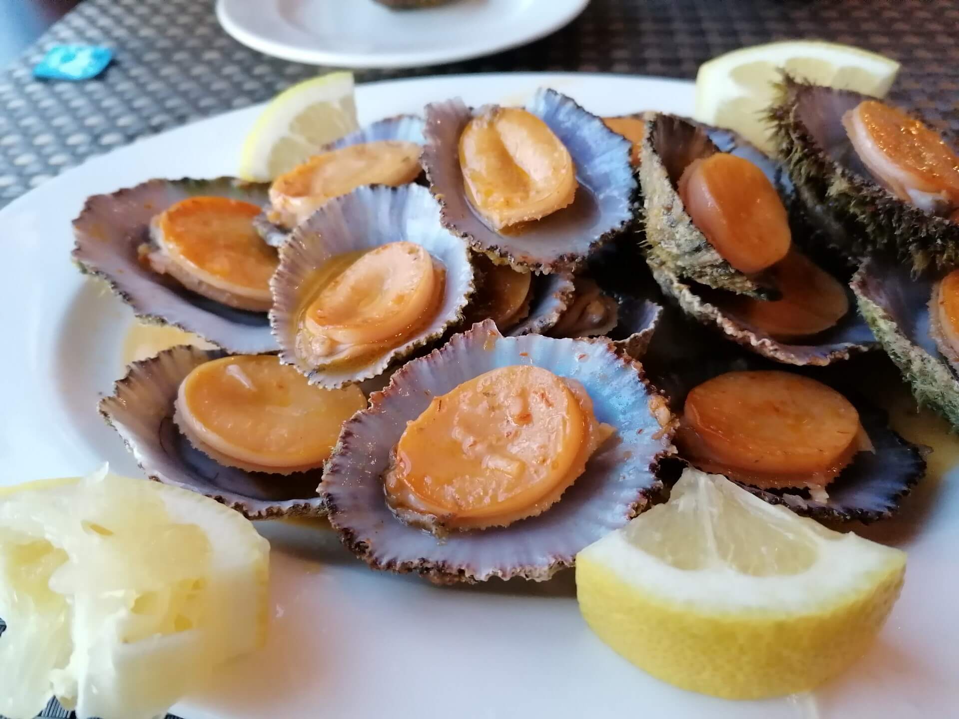
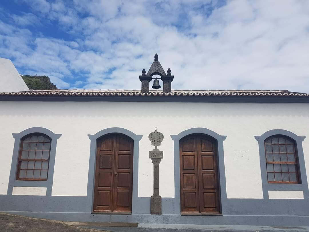
Allied to nature’s potential, in the Azores, one can find an extremely rich heritage, which makes a trip to the nine islands an extraordinary experience due to the diversity of landscapes, traditions and history that each island provides.


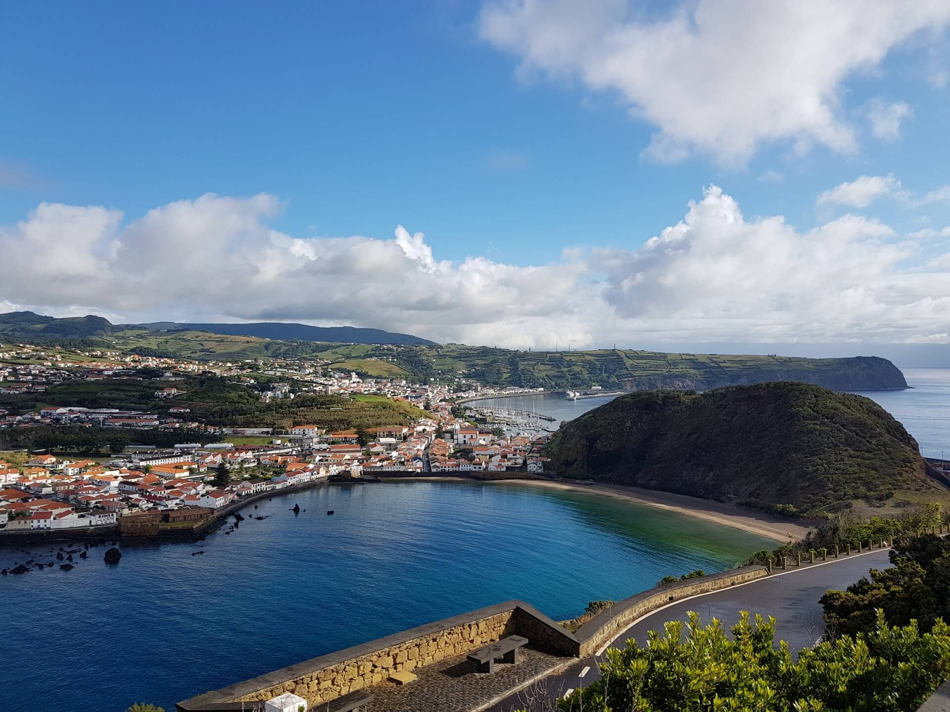
Nine islands located between the Euro-Asian, American and African tectonic plates, where 236 657 people live in a territory of 2325 km2. This Autonomous Region is divided in three geographical groups: the Eastern Group – Santa Maria and São Miguel, the Central Group, comprising Terceira, Graciosa, São Jorge, Pico and Faial, and the Western Group – Flores and Corvo.
Known for its nature, the Azores offer nine islands of volcanic origin, each island, with its own characteristics and peculiarities, is unique.
Allied to nature’s potential, in the Azores, one can find an extremely rich heritage, which makes a trip to the nine islands an extraordinary experience due to the diversity of landscapes, traditions and history that each island provides.


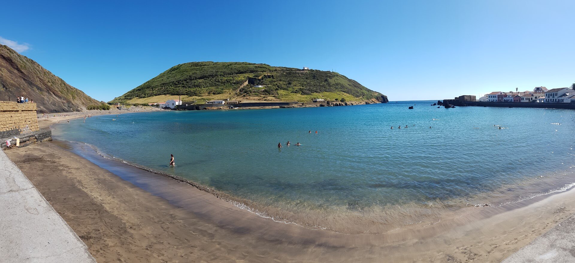
Nine islands located between the Euro-Asian, American and African tectonic plates, where 236 657 people live in a territory of 2325 km2. This Autonomous Region is divided in three geographical groups: the Eastern Group – Santa Maria and São Miguel, the Central Group, comprising Terceira, Graciosa, São Jorge, Pico and Faial, and the Western Group – Flores and Corvo.
Known for its nature, the Azores offer nine islands of volcanic origin, each island, with its own characteristics and peculiarities, is unique.
Allied to nature’s potential, in the Azores, one can find an extremely rich heritage, which makes a trip to the nine islands an extraordinary experience due to the diversity of landscapes, traditions and history that each island provides.


Assoc. 7
paulotaxiazores@sapo.pt
I have started working as a tour guide in 2012, rigth after I finished my Tourism degree. It gives me great pleasure to share the culture of the archipelago where I was born and raised.
Email: filipagasparsilva@hotmail.com
Assoc. 9
Assoc. 12
Assoc. 28
sunsetdreamtours@gmail.com
Assoc. 32
marcoandrefarias@gmail.com
Assoc. 60
filomena@viagensaquarius.com
Assoc. 34
luisnunesguia1@gmail.com
Assoc. 61
antonio@viagensaquarius.com
Assoc. 39
Email: dom.miguel.acores@gmail.com
Assoc. 29
lizetealbuquerque@hotmail.com
Assoc. 43
guiabirgit@gmx.de
Assoc. 46
syuazores@gmail.com
Assoc. 48
armandorodrigues_87@hotmail.com
Assoc. 51
lurdes-noia-freitas@sapo.pt

Assoc. 74
margarida.sanbento@sapo.pt
My name is Hildeberto Cabral. I was born and raised in Terceira island though I am fluent in English as well as Portuguese. It has been my honor to take visitors to experience our gastronomic heritage along with tasting the wines that are unique to the island. Though people say I am fun, I have a passion for both the historical and cultural aspects of our island.
I’m Henrique Dias, Cultural Tourism and Heritage Technician, and graduated in Tourism Management.
Passionate about the History, Heritage, culture, geology and biology of Portugal. My activity as a guide
began after my certification as a guide of Natural Parks of the Azores, on the Island of São Miguel, in
2016.
Natural Park Guide and Regional Tour Guide
Email: damimen2020@gmail.com
Assoc: 91

Having lived in 8 countries around the world, it is in the Azores that I am the
happiest, surrounded by our lush mountains and the bluest of oceans.
With a background in language teaching, sustainable tourism management and
nature guiding, and with a passion for the outdoors, exploring and connecting with
people, guiding allows me to share my love for the Azorean nature, culture and
heritage.
Enthusiasm and a keen interest to share everything authentic Azorean is what I bring
to my tours.
Email: carvalhodeborah218@ymail.com
Assoc: 92
I am Miguel from São Miguel, although, curiously, of Lisbon origin. Several decades ago, the Azores completely won me over: a group of islands in the heart of the Atlantic, where some of the world’s most breathtaking landscapes meet a five-hundred-year history and a unique island culture.
It is in this special part of the world that I have the privilege of guiding visitors, inviting them to discover its secrets and attractions.
Assoc. 93
Guia Intérprete Nacional. Como profissional de informação turística, partilha a sua
paixão pelos Açores e Portugal desde 1989. Tem-se especializado em turismo
cultural, sendo autor de alguns livros sobre o património cultural dos Açores. Formador
certificado, colaborando com entidades formadoras públicas e privadas.
Sou apaixonado pela Natureza e Cultura destas ilhas e gosto particularmente da forma como estes temas se relacionam. Sou um contador de histórias divertido e criativo com recurso ao que de melhor esta ilha tem para oferecer!
Assoc. 7
paulotaxiazores@sapo.pt
I have started working as a tour guide in 2012, rigth after I finished my Tourism degree. It gives me great pleasure to share the culture of the archipelago where I was born and raised.
Email: filipagasparsilva@hotmail.com
Assoc. 9
Assoc. 12
Assoc. 28
sunsetdreamtours@gmail.com
Assoc. 32
marcoandrefarias@gmail.com
Assoc. 60
filomena@viagensaquarius.com
Assoc. 34
luisnunesguia1@gmail.com
Assoc. 61
antonio@viagensaquarius.com
Assoc. 39
Email: dom.miguel.acores@gmail.com
Assoc. 29
lizetealbuquerque@hotmail.com
Assoc. 43
guiabirgit@gmx.de
Assoc. 46
syuazores@gmail.com
Assoc. 48
armandorodrigues_87@hotmail.com
Assoc. 51
lurdes-noia-freitas@sapo.pt
Assoc. 74
margarida.sanbento@sapo.pt
My name is Hildeberto Cabral. I was born and raised in Terceira island though I am fluent in English as well as Portuguese. It has been my honor to take visitors to experience our gastronomic heritage along with tasting the wines that are unique to the island. Though people say I am fun, I have a passion for both the historical and cultural aspects of our island.
I’m Henrique Dias, Cultural Tourism and Heritage Technician, and graduated in Tourism Management.
Passionate about the History, Heritage, culture, geology and biology of Portugal. My activity as a guide
began after my certification as a guide of Natural Parks of the Azores, on the Island of São Miguel, in
2016.
Natural Park Guide and Regional Tour Guide
Email: damimen2020@gmail.com
Assoc: 91
Having lived in 8 countries around the world, it is in the Azores that I am the
happiest, surrounded by our lush mountains and the bluest of oceans.
With a background in language teaching, sustainable tourism management and
nature guiding, and with a passion for the outdoors, exploring and connecting with
people, guiding allows me to share my love for the Azorean nature, culture and
heritage.
Enthusiasm and a keen interest to share everything authentic Azorean is what I bring
to my tours.
Email: carvalhodeborah218@ymail.com
Assoc: 92
I am Miguel from São Miguel, although, curiously, of Lisbon origin. Several decades ago, the Azores completely won me over: a group of islands in the heart of the Atlantic, where some of the world’s most breathtaking landscapes meet a five-hundred-year history and a unique island culture.
It is in this special part of the world that I have the privilege of guiding visitors, inviting them to discover its secrets and attractions.
Assoc. 93
Guia Intérprete Nacional. Como profissional de informação turística, partilha a sua
paixão pelos Açores e Portugal desde 1989. Tem-se especializado em turismo
cultural, sendo autor de alguns livros sobre o património cultural dos Açores. Formador
certificado, colaborando com entidades formadoras públicas e privadas.
Sou apaixonado pela Natureza e Cultura destas ilhas e gosto particularmente da forma como estes temas se relacionam. Sou um contador de histórias divertido e criativo com recurso ao que de melhor esta ilha tem para oferecer!